Winter storm could bring up to 30cm of snow to parts of US north-east
Sign up now: Get ST's newsletters delivered to your inbox

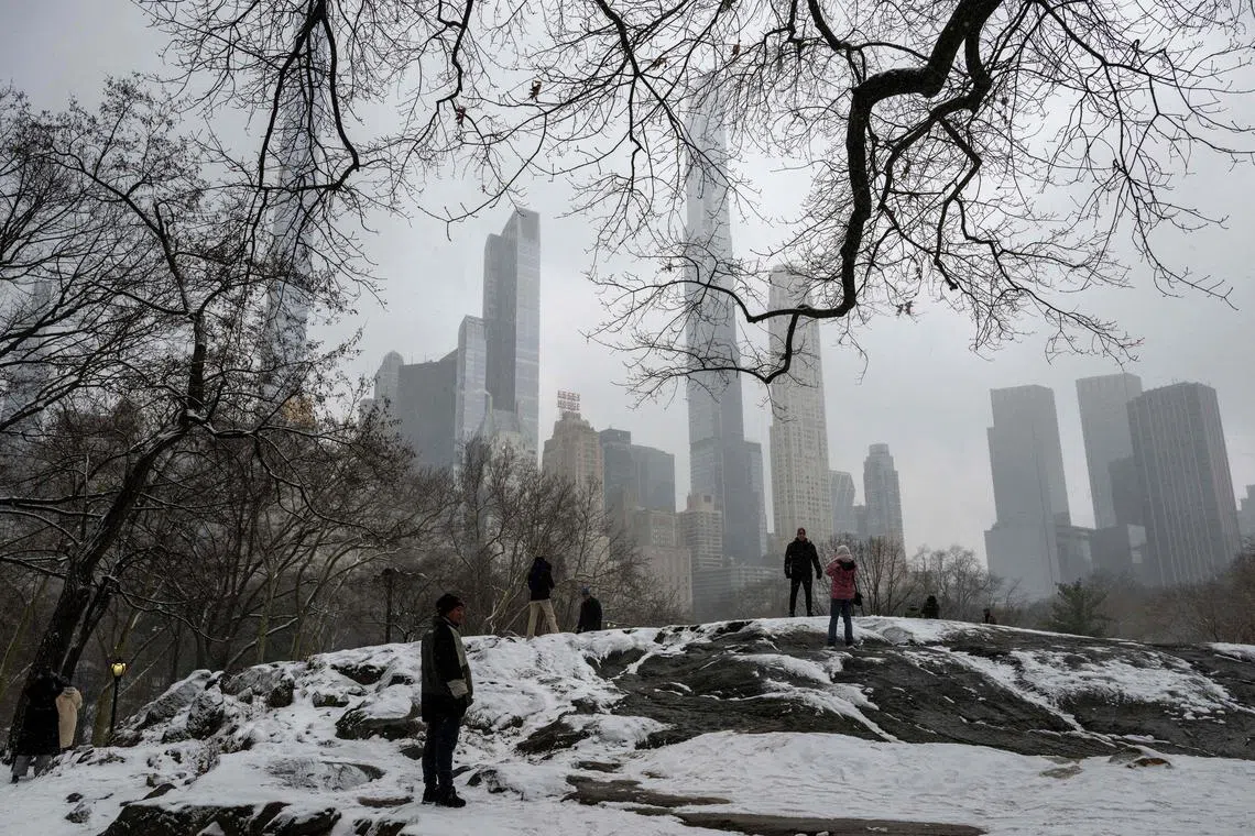
The heaviest snowfalls will most likely be north of New York City.
PHOTO: AFP
NEW YORK - A winter storm is expected to move through the north-east United States starting Feb 12 and lasting into Feb 13, bringing up to 30cm of snow in some areas stretching from central Pennsylvania to the Catskills and Hudson Valley in New York, forecasters said.
As at Feb 10, the storm was over the southern plains in the south-western US, but over the next couple of days it will work its way east and then north-east.
The heaviest snow was expected from northern Pennsylvania, far north-western New Jersey and southern New York into interior southern New England, where locally 30cm or more of snow could fall, said Mr Bill Deger, a senior meteorologist for AccuWeather.
In these areas, snowfall rates could exceed 2.54cm an hour for a time, he said.
Mr Frank Pereira, a meteorologist with the National Weather Service Weather Prediction Centre, said the heaviest snowfalls will most likely be north of New York City.
Forecasts on Feb 10 called for up to 30cm of snow from central Pennsylvania through the Catskills and Hudson Valley in New York and then across portions of southern New England, Connecticut and Massachusetts and through the metropolitan Boston area.
The precipitation is expected to start as rain on Feb 12 night in New York City and then turn to snow on Feb 13 late in the morning, said Mr David Stark, a meteorologist for the weather service office in New York.
He said that he did not expect high snow totals, but added that it was too early to tell.
Mr Deger said the rain-to-snow mix can be dangerous for drivers.
“Rain falling before snow makes it very difficult for municipalities to prepare roads for the wintry weather,” he noted, “as any pre-treatment can be washed away before temperatures fall below freezing and snow starts to accumulate.”
Drivers should anticipate a difficult commute on Feb 13 in eastern Pennsylvania through the New York City area and into the Hudson Valley and southern New England, where visibility could be reduced by locally heavy snow, Mr Deger said.
Meteorologist for the weather service office in Boston Rob Megnia said that during the high tide on Feb 13 in the early afternoon, “there might be pockets of minor, maybe even moderate, coastal flooding along the East Coast”.
“People should be aware of that even if they’re not expecting a lot of snow,” he said.
Mr Pereira of the Weather Prediction Centre said the storm would be “fairly fast-moving.”
“As we get into Tuesday evening into the overnight, the system is going to be out into the open Atlantic waters,” he said, adding that the storm should be over by Feb 14 morning. NYTIMES


