Warm weather with some showers expected in first two weeks of February
Sign up now: Get ST's newsletters delivered to your inbox

The warm conditions expected during this period will mean the daily temperature on most days is expected to be between 24 deg C and 34 deg C.
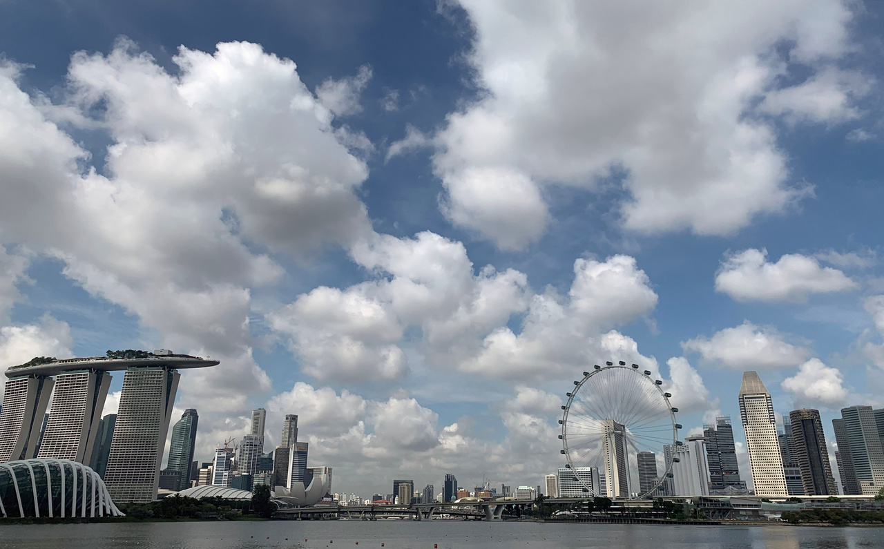
PHOTO: REUTERS
SINGAPORE - Warm weather with occasionally windy conditions on most days can be expected in the first two weeks of February, even as the north-east monsoon season persists, said the weatherman on Friday (Jan 31).
Thundery showers in the afternoon are also predicted later in the fortnight, said the National Environment Agency's Meteorological Service Singapore (MSS).
It added that January is on track to be the fourth warmest January since 1929.
The weatherman explained that warm and occasionally windy conditions on most days during the first week of February are expected because the forming of rain clouds over Singapore and surrounding areas is likely to be suppressed.
This is due to the monsoon rain band - a region with a large cloud cluster - forecast to be located south of the Equator.
But in the second week of February, short moderate to heavy thundery showers are expected mostly in the afternoon on some days, with showers on most of these days expected over parts of Singapore. Showers could be widespread here on one or two days.
MSS explained that the showers are due to the movement of the monsoon rain band closer to the Equator, and this could boost thunderstorm clouds forming over Singapore.
Even so, rainfall for the first fortnight of February is forecast to be below normal over most parts of Singapore.
The warm conditions expected during this period will mean the daily temperature on most days is expected to be between 24 deg C and 34 deg C.
JANUARY WEATHER REVIEW
Most parts of Singapore recorded below-average rainfall in January.
Changi recorded the highest anomaly, with rainfall 61 per cent below average. The rainfall recorded over the south-western part of the island around Jurong was 16 per cent above-average.
The weatherman said that January was relatively windy on most days, especially during the first two weeks of the month.
Then in the second half of the month, there was more rainfall here and in surrounding areas as winds weakened and the north-east monsoon rain band moved closer to the equatorial South-east Asia region.
On some days in the second half of the month, there were moderate to heavy thundery showers in Singapore in the afternoon.
MSS said this was due to strong daytime heating of the land and the convergence of winds in the surrounding area.
The highest daily total rainfall recorded for the month, as of Thursday, was on Wednesday. Intense thundery showers on Wednesday resulted in a daily total rainfall of 185.2mm at Jurong Island.
The weatherman also said that this year's January is on track to be the fourth warmest January since temperature records began in 1929.
The second half of January 2020 was generally warmer compared to the first half of the month.
In the first half of the month, the daily maximum temperature was between 31.6 deg C and 33.5 deg C, while that in the second half was between 32 deg C and 35.4 deg C except on Jan 21.
On Jan 21, the daily maximum temperature only hit 28.6 deg C due to widespread thundery showers that fell over the island between 12am and 3pm.
January's highest daily maximum temperature of 35.4 deg C was recorded at Newton on Jan 26.
The mean monthly temperature for the month, as of Thursday, was 27.7 deg C at the Changi climate station. This was 1.2 deg C higher than the long-term average.


