SINGAPORE - Researchers in Singapore can now use data collected from airborne laser scanners and aerial imagery to gauge the amount of carbon dioxide trees here are absorbing.
The high-resolution information collected about forests and mangroves here will now be used to produce a carbon density map of the Republic.
This could help public and private sector decision-makers to identify and conserve forest areas that are high in carbon, said Professor Koh Lian Pin, director of the Centre for Nature-based Climate Solutions (CNCS) at the National University of Singapore (NUS).
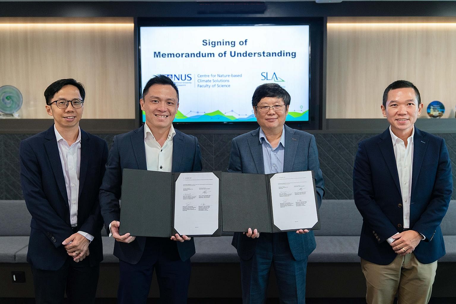
On Thursday, NUS and the Singapore Land Authority (SLA) signed an agreement to collaborate on leveraging geospatial data and technologies for carbon estimation research in Singapore.
Said Prof Koh: "Traditionally, estimating the amount of carbon that a forest absorbs involves manually measuring as many trees as possible and extrapolating this information."
With the new initiative, "both time and effort are saved because we can do the same measurements on our computer", he added.
By using airborne laser scanners that emit hundreds of thousands of laser pulses per second through the tree canopy, SLA has been able to capture an accurate ground profile of Singapore.
Researchers will now use the data to measure carbon, the organisations said.
The method is 20 times more reliable than satellite imagery, they added.
The carbon density map of Singapore will cover the amount of carbon dioxide stored by natural ecosystems such as forests and mangroves, as well as urban trees.
Prof Koh said the effort will build on CNCS' work over the past two years to estimate and monitor carbon in the region.
Under the agreement signed in Novena, SLA will provide geospatial data for carbon estimation research conducted by NUS CNCS, a centre under the Faculty of Science. The agreement was signed in conjunction with the Singapore Geospatial Festival 2022.
Said Professor Sun Yeneng, dean of the NUS Faculty of Science: "This collaboration will contribute and strengthen national carbon estimation efforts in Singapore to provide data and insights to enable strong evidence-based policymaking.

"Our researchers at NUS CNCS are looking forward to working with SLA to develop better techniques using novel technology to make advancements in carbon estimation across various ecosystems in Singapore to help drive action on climate change."
SLA chief executive Colin Low said the collaboration will also pave the way for greater application of SLA's 3D mapping expertise in NUS' research activities by combining geospatial technology and climate science.


