Arctic blast grips US north-east, bringing frostbite-threatening temperatures
Sign up now: Get ST's newsletters delivered to your inbox

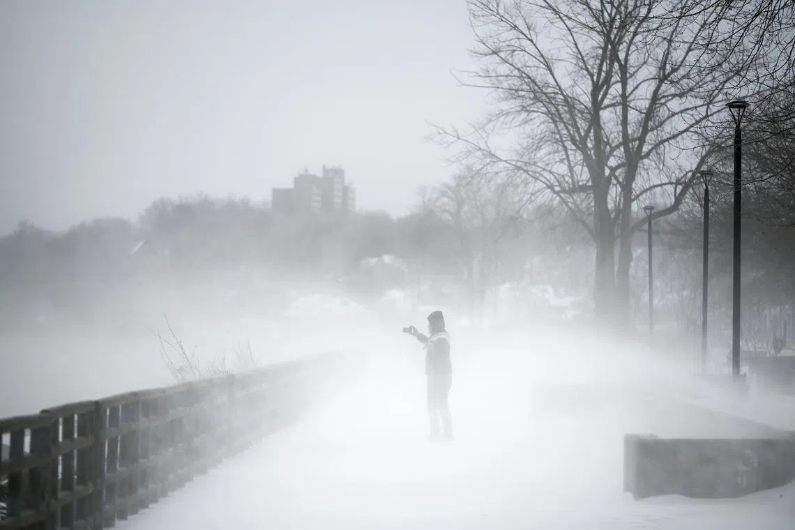
The US National Weather Service said the deep freeze would be relatively short-lived.
PHOTO: NYTIMES
WORCESTER, United States – A powerful Arctic blast swept into the US north-east on Friday, pushing temperatures to perilously low levels across the region.
This includes New Hampshire’s Mount Washington, where the wind chill factor caused the mercury to drop to minus 76 deg C, said forecasters.
Wind chill warnings were posted for most of New York state and all six New England states – Massachusetts, Connecticut, Rhode Island, New Hampshire, Vermont and Maine. The region is home to some 16 million people.
The National Weather Service (NWS) said the deep freeze would be relatively short-lived.
But the combination of numbing cold and biting winds gripping the north-east would pose life-threatening conditions well into Saturday.
Schools in Boston and Worcester in Massachusetts, New England’s two largest cities, were among those closed on Friday over concerns about the risk of hypothermia and frostbite for children walking to school or waiting for buses.
Boston Mayor Michelle Wu declared a state of emergency till Sunday and opened warming centres to help the city’s 650,000-plus residents cope with what the NWS has warned was shaping up to be a “once-in-a-generation” cold front.
The bitter cold forced a rare closing of a floating museum that presents a daily re-enactment of the 1773 Boston Tea Party, when a band of colonists disguised as Native Americans tossed crates of tea taxed by the king into the Boston Harbour in protest.
“It is too cold for that; we are closed,” a receptionist at the museum said on Friday.
Early on Friday, the Arctic surge flowing into the United States from eastern Canada was centred over the US plains, weather service forecaster Bob Oravec said.
Kabetogama in Minnesota, near the Ontario border, was America’s coldest spot at one point in the afternoon, with a temperature of minus 39.5 deg C.
Sub-freezing, blustery conditions spread eastwards throughout the day, sending the wind chill factor – measuring the combined effect of wind and cold on the body – plunging to minus 40 deg C across much of Maine, NWS meteorologist Brian Hurley said.
In Mount Washington State Park, atop the north-east’s highest peak, temperatures fell to minus 46 deg C on Friday evening, with sustained winds of 144kmh driving the wind chill to minus 76 deg C, according to Mr Hurley.
By comparison, air temperatures in Eureka, Canada’s northern-most Arctic weather station, were hovering at minus 41 deg C on Friday morning.
Boston was at minus 13 deg C on Friday evening, while in Worcester, 64km to the west, the mercury hit minus 16 deg C, with temperatures expected to fall even lower, Mr Hurley said.
Record cold was expected in both cities on Saturday.
Forecasts called for a low of minus 21 deg C in Boston, exceeding a record in 1886 of minus 18 deg C for the date. Worcester was headed for a low of minus 23 deg C on Saturday, which would break its previous 1934 record of minus 20 deg C for the date.

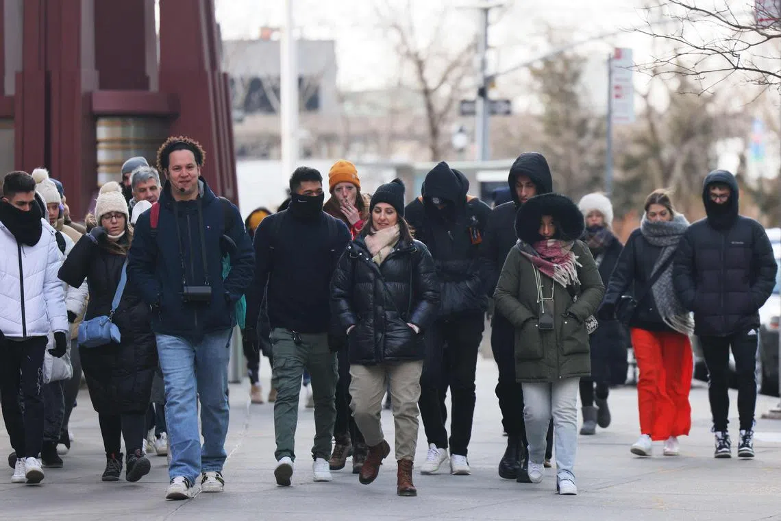
People bundled up in thick clothing as they shield themselves from cold winds in New York City on Feb 3, 2023.
PHOTO: AFP
‘Before the real cold hits’
Despite the extreme cold, Mr Nhon Ma, a Belgium native, was out on Friday with his Zinneken’s food truck near Boston University selling Belgian waffles made from homemade dough, and keeping warm with three or four waffle irons going at once.
“Those create heat but, of course, it is cold. It is going to be cold but we are here,” said Mr Ma.
In a frigid Biddeford, Maine, about 150km north of Boston, Ms Katie Pinard, owner of a coffee shop-cum-bookshop, said business was brisk as customers came in from the cold, with some opting to work from her shop, Elements: Books Coffee Beer, rather than commute.
“Yeah, Mainers are pretty hardy... I think people are out and doing what they need to get done before the real cold hits,” she said, looking ahead to Saturday morning, when temperatures were expected to drop to minus 28 deg C.
While the north-east was hunkering down, Texas and parts of the South were starting to warm up in the aftermath of a deadly winter ice storm that brought days of freezing rain, sleet and ice, causing massive power outages and dangerously icy roads.
But the weather was warming up, with temperatures in Austin, Texas, expected to hit 11 deg C on Friday and 22 deg C by Monday, forecasters say.
Meanwhile, a Pacific storm was expected to bring another round of heavy snow to California’s Sierra Nevada mountains on Saturday night.
Periods of moderate rainfall have been forecast in lower elevations of central and northern California and the Pacific North-west over the weekend. REUTERS


