Budget debate: Coastal protection studies for north-west coast, Jurong Island to begin this year
Sign up now: Get ST's newsletters delivered to your inbox

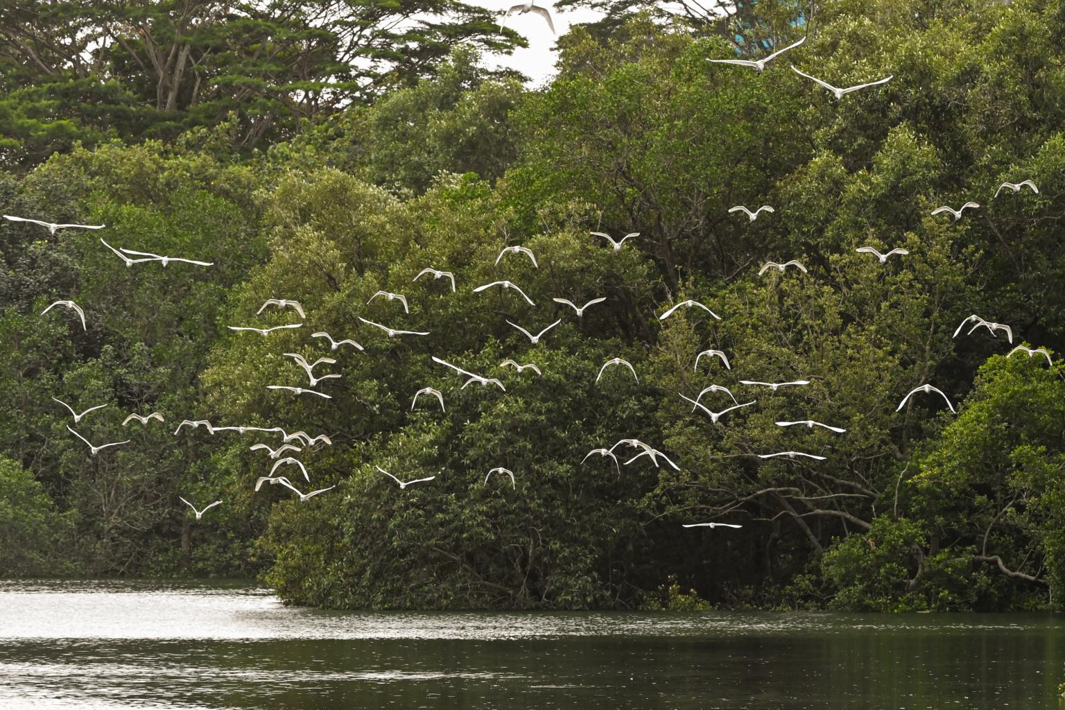
Two studies will be undertaken for Singapore's north-west coast, as one segment - which includes Sungei Buloh Wetland Reserve - is richer in biodiversity compared to the other.
ST PHOTO: LIM YAOHUI
SINGAPORE - Studies on how Jurong Island and Singapore's north-western coast can be better protected from rising sea levels will start this year, Minister for Sustainability and the Environment Grace Fu said on Monday (March 7).
These areas had earlier been identified by national water agency PUB as being vulnerable to sea level rise brought by climate change, along with the City-East Coast stretch of the country's coastline.
The three coastal protection studies are among eight studies that will cover Singapore's more than 300km of coastlines, said Ms Fu.
"The Centre for Climate Research Singapore has projected that climate change could cause mean sea-level rise of up to 1m by 2100," she added.
Taking into account extreme high tides and storm surges - which are storms that cause extreme sea level rise, some projections suggest that sea levels could be as high as 4m to 5m, the minister said.
"This is high enough to potentially flood one-third of Singapore," she noted, adding that coastal protection is a long-term endeavour and the country has started planning ahead.
The coastal protection study for the City-East Coast area had commenced last year, while the study at Jurong Island - conducted by industrial developer JTC Corporation - is expected to begin in the third quarter of this year, Ms Hazel Khoo, director of PUB's coastal protection department, told The Straits Times.
She added that the Jurong Island study has been delayed as JTC needed to refine its scope and align it with studies for other segments of the coastline.
The Jurong Island study was initially slated to begin last year.
As for the north-western coast, two separate studies will be undertaken for different segments there, said Ms Khoo.
The first segment is a 24km stretch from Tuas Checkpoint to Lim Chu Kang jetty, which consists mainly of dams and dykes that make up four coastal reservoirs - Murai, Poyan, Sarimbun and Tengeh.
The second is a 15km stretch that includes Sungei Kadut and Lim Chu Kang, which houses various nature areas.
Explaining the rationale behind dividing the coastline into two areas for study, Ms Khoo, told ST that both areas are "hydraulically distinct", meaning that flood waters, up to a certain level, would not flow into other segments due to the topography of the area.
"This allows flood risks to be contained, enabling Singapore to vary the approach it takes for coastal protection in each segment."
Moreover, the characteristics of the two segments of the north-west coast are different, she added.
The first segment of the coastline comprises critical water infrastructure, such as reservoirs, that need to be protected from saltwater intrusion, Ms Khoo said.
"Dams and dykes are effective engineering measures that cut off the sea from the reservoirs, and also keep the areas inland from seawater inundation," she said.
"As part of the studies, PUB will be looking at possible adaptation measures such as raising of the dams or dykes to protect the reservoirs from seawater intrusion as well as ways to ensure the integrity of these structures."
But as the coastline along this stretch is also naturally protected by mangroves, these natural habitats could potentially complement the hard structures by reducing the force of wave energy.
"Such hybrid solutions have been piloted at Pulau Tekong and implemented at Kranji Coastal Nature Park by the National Parks Board (NParks), and will be considered here," she added.
The second stretch of the coastline, where Sungei Buloh Wetland Reserve is located, is comparatively more rich in biodiversity.
Other landmarks there include the Woodlands Checkpoint, Kranji Reservoir, and upcoming public parks, such as the Lim Chu Kang Nature Park and the Mandai Mangrove and Mudflat Nature Park.

PHOTO: NATIONAL PARKS BOARD
The area will also house the future Sungei Kadut Eco-District - Singapore's agritech district - and the Lim Chu Kang high-tech agri-food cluster.
Ms Khoo said an environmental study will be conducted to help PUB identify the biodiversity in the area, so that coastal protection measures considered will take into account these natural habitats, said Ms Khoo.
"PUB will take the opportunity to work with NParks and nature groups to explore solutions that combine nature-based elements with hard engineering measures, to conserve or even enhance the existing ecosystems," she added.
The study at Jurong Island, and the north-western coast studies will likely be completed by 2030. The City-East Coast study will be completed by 2025.
The studies for the respective segments are conducted in phases, based on factors such as anticipated flood impact, criticality of assets within each segment, and the opportunities to dovetail with future development plans, said PUB.
This will allow the agency flexibility in adapting their plans to incorporate the latest developments in climate science.
Said Ms Khoo: "As we develop coastal protection plans, we will take into account the planned land use and upcoming developments so that coastal protection solutions will be designed to blend in with the environment.
"Where feasible, coastal protection measures can serve multiple functions, be co-located with or create new recreational spaces for the community to enhance our living environment."


