Drones, CCTV footage could be used in Singapore's fight against sea-level rise
Sign up now: Get ST's newsletters delivered to your inbox

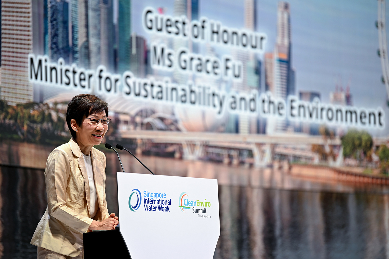
Minister for Sustainability and the Environment Grace Fu said PUB is calling for proposals on the use of emerging sensor technologies.
ST PHOTO: LIM YAOHUI
SINGAPORE - Drones and closed-circuit television (CCTV) cameras could one day join seawalls and mangroves in the arsenal of tools Singapore uses to deal with rising sea levels.
Minister for Sustainability and the Environment Grace Fu announced on Monday (April 18) that national water agency PUB is calling for proposals on the use of emerging sensor technologies, such as satellite imagery and radar, to collect and analyse coastal and inland flood data sets.
"This will support PUB in the formulation of robust coastal protection strategies," said Ms Fu, at the joint opening of two environmental conferences - CleanEnviro Summit Singapore and the Singapore International Water Week.
PUB said in a separate statement that it is seeking proposals in three key areas.
The first involves the use of low-maintenance radar and satellite-based sensors that can provide real-time data remotely.
Such data will provide a baseline of how sea level heights in Singapore's coastal areas vary, and enable PUB to track any changes over the long term, Mr Ho Chai Teck, deputy director of PUB's coastal protection department, told The Straits Times.
"The sea is not just a flat surface," he said. "Waves, currents or the movement of vessels offshore can affect the height of the seawater nearer to Singapore."
Currently in Singapore, information on the height of land relative to the sea is collected via a network of tide gauges that monitor water levels, and a different set of sensors that provide a measure of whether land is subsiding.
But Mr Ho noted that these sensors and gauges provide just point data as they reflect changes only at the spot where they are mounted.
Satellite or radar imagery, on the other hand, can provide coverage of a wider area.
PUB's second focus area is to monitor how ships can affect sea level heights near shore.
When a ship moves offshore, it generates waves that can get bigger in shallow waters. This will worsen the impact of rising sea levels in coastal areas.
Finally, PUB said its third focus area is on the feasibility of using CCTV footage, drones or citizen-sourced smartphone images to provide live feeds of the extent and depth of inland and coastal flooding.
Mr Ho said: "The higher the quality of data, the more likely we can come up with detailed risk assessments that limit the damage and maintenance costs incurred from rising sea levels."
Such data will supplement other studies being done along Singapore's coastline on how various areas can be protected from the rising tides.
For example, Mr Ho said if the data shows that a particular segment of the coast is subject to stronger wave action caused by offshore traffic, then coastal protection strategies in that area could include measures to reduce the wave action.
This can include, for instance, using tiles to form structures that encourage the growth of marine ecosystems such as corals, which can help to reduce wave action.
Meanwhile, infrastructure and consultancy firm Surbana Jurong Group has been appointed by PUB to undertake a site-specific study on how to protect the north-west coast of Singapore from sea level rise.
The area under study stretches across 24km of the coastline from Tuas Checkpoint to Lim Chu Kang jetty and comprises Tengeh, Poyan, Murai and Sarimbun reservoirs, as well as military camps and training areas. Mangrove habitats are also present along some sections of the coastline. Surbana said in a statement that its coastal engineering team will start with an assessment of the flood risks from rising sea levels and intense rainfall.
"Coastal and inland drainage adaptation measures will be explored in tandem to address the impacts from climate change," it said.
"Working with existing site conditions, Surbana Jurong will also look at ways to incorporate hybrid solutions where hard engineering measures are coupled with nature-based elements including mangroves."


