For subscribers
AI data bonanza will intensify geo-strategic competition
What Galileo did for Venice is an early example of the power of geo-spatial data.
Sign up now: Get ST's newsletters delivered to your inbox

Governments have long realised that new ways to capture and analyse data can confer important geo-strategic advantages.
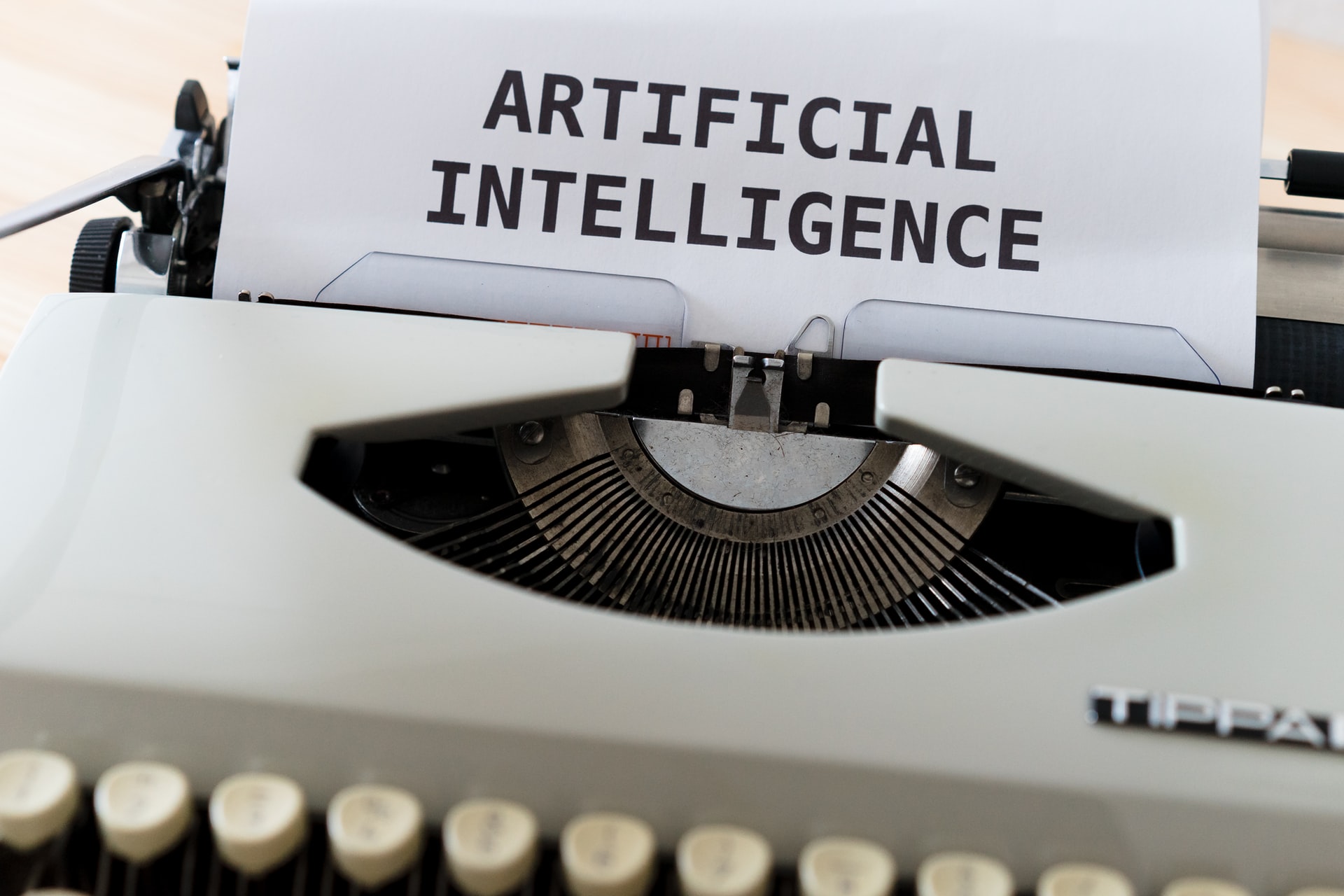
PHOTO ILLUSTRATION: UNSPLASH
When Russian tanks rolled into Ukraine in the early hours of Feb 24, the first indication that the conflict had begun came not from official sources but from independent researchers monitoring high-precision mapping images and Russian TikTok videos. Since then, AI algorithms have been used to comb through satellite images to help governments and humanitarian organisations track the movement of refugees, military vehicles and troops, and to provide before- and after-verification of military claims around targets and casualties.
Governments have long realised that new ways to capture and analyse data can confer important geo-strategic advantages. One of the earliest examples of the use of geo-spatial data was Galileo's gift of a specially made telescope to the trading city of Venice in the early 17th century.


