Heavy rains pound US north-east, with more storms on the way
Sign up now: Get ST's newsletters delivered to your inbox

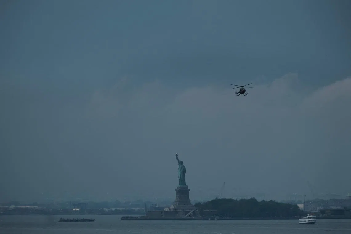
Clouds move in over the Statue of Liberty on June 26 in New York City.
PHOTO: AFP
NEW YORK – Heavy rainstorms poured over parts of New York and Pennsylvania on Sunday, with first responders rescuing people stuck in vehicles along flooded roadways and with more wet weather on the way for the US north-east.
US Representative Mike Lawler, who represents New York’s Hudson Valley area north of New York City, posted several videos and photographs on Twitter showing rushing floodwaters in Stony Point, a small town on the Hudson River about 64km north of Manhattan.
“Significant flooding in Stony Point – homes and cars – and many people evacuated,” he wrote.
Similar flooding occurred in Pennsylvania. The Weather Channel showed video of flooded-out roads in Quakertown, located about 24km south-east of Allentown, where at least one stranded driver needed to be rescued by the fire department.
Mr Bryan Jackson, a meteorologist with the National Weather Service’s Weather Prediction Centre, said a weather pattern more typical of cooler months had built over the Canadian province of Ontario and was interacting with the regular summer moisture.
Central Pennsylvania and southern New York bore the brunt of the rain on Sunday.
On Sunday, the area near West Point, New York, home to the United States Military Academy, was under a flash flood emergency, having already received 228.6mm of rain, according to radar estimates, Mr Jackson said.
The prediction centre also issued its first ever high-risk warning, the highest level on a four-step scale, for the area surrounding Burlington, Vermont, on Monday, Mr Jackson said.
“We expect considerable to locally catastrophic impacts,” he said.
The weather service urged people in some vulnerable areas to seek higher ground immediately.
Rain may fall at rates of 5cm per hour through early Monday in New York, Mr Bryan Ramsey, a National Weather Service meteorologist in Upton, New York, said on Sunday. Because the storm is moving so slowly, accumulations may pile up in harder-hit areas.
“We are going to be looking at some very heavy rainfall, this will include the I-95 (interstate highway) corridor,” said Mr Andrew Orrison, a forecaster with the US Weather Prediction Centre. “In general, the region up here has been wet, so we are looking at significant impacts.”
While about 80 million people are in the storm’s path, the highest rain totals are expected across portions of the north-east and New England, forecasts predict, with some seeing a month’s worth of moisture in just a few hours. Because the front is moving slowly, the bands of rain and flooding threat could linger until Monday morning.
As at Sunday afternoon, more than 300 flights have been cancelled at New York’s LaGuardia and John F. Kennedy airports, and more than 150 at Newark, according to FlightAware, an airline tracking company.
New Yorkers are urged to keep a close eye on the forecasts and prepare for possible flooding.
“Throughout the weekend, parts of the state will continue to be at risk for flooding from storms bringing heavy rain, especially in those areas already hard-hit by rains and flooding over the past couple of days,” New York Governor Kathy Hochul said in a statement. BLOOMBERG, REUTERS


