First US winter storm of 2023 brings snow, sleet and tornado threat
Sign up now: Get ST's newsletters delivered to your inbox

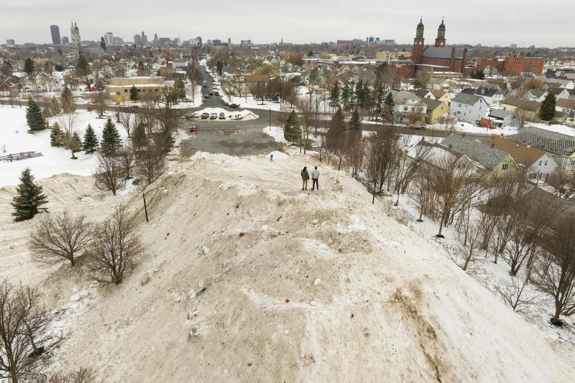
Some states such as Nebraska and South Dakota are expected to receive up to 30cm of snow.
PHOTO: AFP
Follow topic:
WASHINGTON - The first major US winter storm system of the year dumped a frosty mix of snow, freezing rain and sleet from the northern plains to the upper Great Lakes region on Tuesday while posing a tornado and flood threat to a large swathe of the south.
The National Weather Service (NWS) forecast that 2.5cm to 7.5cm of snow would fall an hour, accompanied at times by thunder, and over 30cm would accumulate in parts of Nebraska, South Dakota and Minnesota on Tuesday.
Drifting and blowing snow from strong, gusty winds is expected to make road travel virtually impossible in some areas. Snow fog, mist and freezing rain are creating treacherous driving conditions in others, the NWS said.
Winter storm warnings, ice storm warnings and winter weather advisories were posted in and around Minneapolis and St Paul in Minnesota as freezing rain swept north through the region, followed by bands of heavy snow, according to the NWS.
The wintry blast was expected to spread into the New England region by Wednesday. It is part of a larger weather front bringing heavy showers and a chance of severe thunderstorms, hail and tornadoes to the lower Mississippi valley, Gulf Coast, Tennessee valley and southern Appalachians.
Tornado watches and severe thunderstorm warnings are in effect across much of Louisiana, Mississippi, Alabama and Georgia, along with flood watches posted along that zone’s southern fringe.
“It’s all part of the same system. The heavy snowfall is occurring on the west to northern side of the storm... and then the rainfall and severe weather is across the south,” NWS meteorologist Allison Santorelli said.
Nearly 200 flights through Minneapolis-St Paul International Airport were cancelled on Tuesday, according to flight tracker FlightAware.
On the West Coast, northern California is bracing itself for another bout of heavy rain and flooding from an “atmospheric river” of dense moisture, which is expected to bring drenching rains and the possibility of renewed flooding to northern and central California, starting on Wednesday.
Heavy snow is expected to return to the Sierra Nevada mountains on Wednesday, along with coastal rain and higher-elevation snow in the Pacific north-west.
Northern California is still recovering from a weekend Pacific storm that triggered floods, mudslides, power outages and road closures.
Ms Santorelli said high winds accompanying the latest batch of impending downpours could uproot trees and knock down tree limbs, causing more blackouts.
As many as 21,000 homes and businesses in northern California were without electricity by early Tuesday, data from poweroutage.us showed. REUTERS

