‘Record’ ocean temperatures lift Atlantic hurricane outlook
Sign up now: Get ST's newsletters delivered to your inbox

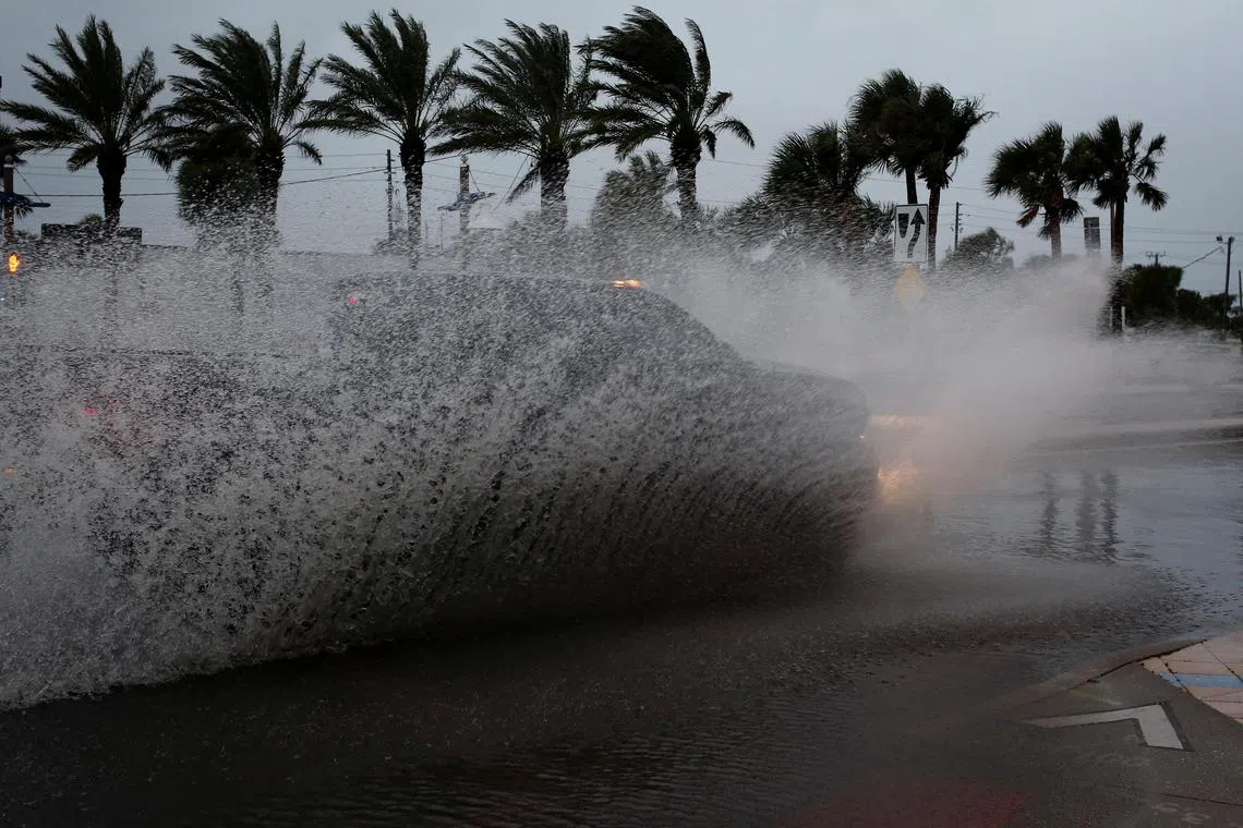
The Atlantic storm season began on June 1 and runs till Nov 30.
PHOTO: REUTERS
FORT COLLINS, Colorado – Forecasters at Colorado State University (CSU) for a second time raised their estimate for storms during this year’s Atlantic hurricane season, citing “record” sea surface temperatures.
The group had last month raised its outlook to a near-normal season and number of storms. On Thursday, it boosted its forecast to 18 named storms, producing nine hurricanes, four of which could become major storms with winds of at least 179kmh.
“The continued anomalous warming of the tropical and subtropical Atlantic is the primary reason for the increase in our forecast numbers,” wrote Dr Phil Klotzbach, who leads CSU’s Tropical Weather and Climate Research group.
The effect of El Nino, a weather phenomenon that suppresses Atlantic hurricane activity, in 2023 has been offset by very hot ocean waters. These fuel more energetic storms by putting more vapour into the air, which can produce more intense precipitation.
June’s average sea surface temperatures across the North Atlantic were 0.91 deg C higher than the average for 1991 to 2020, and half a degree greater than the previous warmest June, the European Union’s Copernicus Climate Change Service, which tracks ocean and air temperatures, said on Thursday.
The Atlantic storm season began on June 1 and runs till Nov 30.
CSU’s raised outlook is well above that of the United States National Oceanic and Atmospheric Administration, which predicts a near-normal season with between 12 and 17 named storms, five to nine hurricanes, and one to four major hurricanes. REUTERS


