How climate change is shaping California’s winter storms
Sign up now: Get ST's newsletters delivered to your inbox
SAN FRANCISCO - Drenching rains forecast to pummel California on Wednesday and again over the weekend are poised to be the third and fourth major storms to march through in less than two weeks, raising the prospect of more misery in a season that has already brought flooding, debris flows and power outages to parts of the state.
Over the weekend, rescuers scoured rural areas of Sacramento County looking for people trapped in homes or cars. Levees failed near the Cosumnes River and flooded a highway.
Winter rain and snow typically provide much of the water used throughout the year in California, which has suffered several years of punishing drought. But when these storms, which are known as atmospheric rivers, are particularly severe or sweep through in rapid succession, they can do more harm than good, delivering too much water, too quickly, for the state’s reservoirs and emergency responders to handle.
So far, this winter’s storms have been largely in line with past ones except in their unrelenting pace, said Michael Anderson, California’s state climatologist. “This is where we’re getting hit this year: We’re seeing a lot of big storms fairly quickly.”
What is an atmospheric river?
These storms get their name from their long, narrow shape and the prodigious amount of water they carry.
They form when winds over the Pacific draw a filament of moisture from the band of warm, moist air over the tropics and channel it toward the West Coast. When this ribbon of moisture hits the Sierra Nevada and other mountains, it is forced upward, cooling it and turning its water into immense quantities of rain and snow.
Climate scientists also distinguish atmospheric rivers from other kinds of storms by the amount of water vapor they carry. These amounts form the basis for a five-point scale used to rank atmospheric rivers from “weak” to “exceptional.”
Is climate change making them more extreme?
As humans continue burning fossil fuels and heating the atmosphere, the warmer air can hold more moisture. This means storms in many places, California included, are more likely to be extremely wet and intense.
Scientists are also studying whether global warming might be shifting the way winds carry moisture around the atmosphere, potentially influencing the number of atmospheric rivers that sweep through California each year and how long they last. They have not yet come to firm conclusions on these questions, though.
“The dominant thing that’s happening is just that, in a warmer atmosphere, there’s exponentially more potential for it to hold water vapor,” said Daniel L. Swain, a climate scientist at UCLA. “And that exerts a really profound influence on things.”

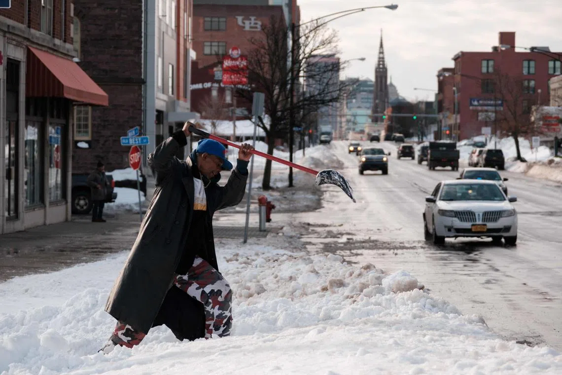
A resident digs out a bus stop on Main Street in Buffalo, New York, on Dec 29, 2022.
PHOTO: AFP
How common are they?
Atmospheric rivers are hugely influential for California’s weather and water supplies. They cause the state’s heaviest rains and feed the biggest floods. They drive its cycles of dry and wet, famine and feast. But they also cause a large share of the state’s levee breaches and debris flows.
One atmospheric river can be enough to flood homes, down power lines, and wash away hillsides and highways. But when several sweep ashore in a matter of days or weeks, as appears to be happening this week, the potential damage is multiplied.
Soils already saturated with rainwater might not be able to absorb any more, leading to floods and landslides. Rivers and streams already swollen after one storm could overflow. In the high mountains, rain could fall on snow, melting it and causing water to cascade toward communities below. Emergency services could be stretched to the breaking point.
A pile-on of wet weather caused catastrophic flooding across California and the Pacific Northwest in the winter of 1861-62, when deluges swept away homes and farms and turned valleys into vast lakes. As global warming continues, scientists say the risk of a replay of those floods is rising.
Are they happening more often?
In a study published last year, Swain and Xingying Huang of the National Center for Atmospheric Research in Boulder, Colorado, estimated that California today had a roughly 1-in-50 chance each year of experiencing a storm of comparable intensity to 1861-62. Climate change has already doubled those odds compared with a century ago, they estimated.
It is still unclear how global warming might be affecting the likelihood for atmospheric rivers to crash into California in rapid-fire clusters. Another study last year found that in nearly 4 out of 5 years between 1981 and 2019, half or more of all atmospheric rivers that affected the state were part of an atmospheric river “family,” or a rapid parade of storms.
Still, the warmer atmosphere’s increased capacity for holding moisture is reason enough for California officials to prepare for more catastrophic rain events today and in the future, Swain said. NYTIMES


