How climate change can supercharge snowstorms
Sign up now: Get ST's newsletters delivered to your inbox

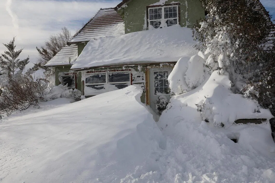
Snow blanketing a house following a blizzard in Sturgis, South Dakota, on Dec 16, 2022.
PHOTO: REUTERS
NEW YORK - If the globe is warming, shouldn’t there be less snow?
It’s a common question and one that many Americans are wondering as a powerful winter storm sweeps across large parts of the United States, bringing freezing temperatures and mass flight cancellations. More than 100 million people have been under wind chill warnings or advisories in effect from the Canadian border to the Gulf Coast.
Last winter, as another intense snowstorm blanketed parts of the US, the New York Times put the question to Dr Kevin Reed, an associate professor at the School of Marine and Atmospheric Sciences at Stony Brook University on Long Island.
It is true, he said, that in a warming world, less snow is falling overall, and covering less area. But higher temperatures also allow the atmosphere to hold more water, which creates more precipitation and makes it more likely to fall quickly.
“That means there are still times and cases where that precipitation increase comes in the form of snow,” Dr Reed said. “We know that to be true.”
Summers have always been more humid than winters because warmer air absorbs more moisture. As the moisture condenses, warm air rises faster, bringing even more moisture in a feedback loop that can create sudden, fast-falling downpours like the ones that spurred deadly floods in New York and New Jersey in the aftermath of Hurricane Ida last year.
Overall, Reed said, a few degrees of global warming means that some storms that would have brought snow on a 31-degree Fahrenheit day will end up as rain at 33 degrees (0.55 deg C). But on the other hand, more snow falls when temperatures are just below freezing than during extreme cold.
“So a storm that’s a little warmer but still below freezing, a storm that might’ve been a 25-degree storm but ends up as a 30-degree storm, means it will snow more,” he said.
Flash floods are generally more likely during warm-weather downpours. But freezing temperatures bring their own flooding risks, Reed said: Ice can block drainage systems, and if rain or warmer temperatures follow snow, the melting can cause flooding.
“That’s the worst-case scenario when we’re right around the freezing line: Rain and snow melt and blockages all at once,” he said.
The latest Arctic blast, which tends to occur every few years, has combined with a “bomb cyclone” to bring about the extreme wind chills that have swept into southern parts of the US, where temperatures have sunk to single digits.
According to the US National Oceanic and Atmospheric Administration, bombogenesis is a term used by meteorologists to describe when a midlatitude cyclone rapidly intensifies, dropping at least 24 millibars over 24 hours. A millibar measures atmospheric pressure.
This can happen when a cold air mass collides with a warm air mass, such as air over warm waters, NOAA says on its website. The formation of this rapidly strengthening weather system is called bombogenesis, which creates a bomb cyclone.
NYTIMES


