Can we talk about the weather? Five key climate terms to know
Sign up now: Get ST's newsletters delivered to your inbox

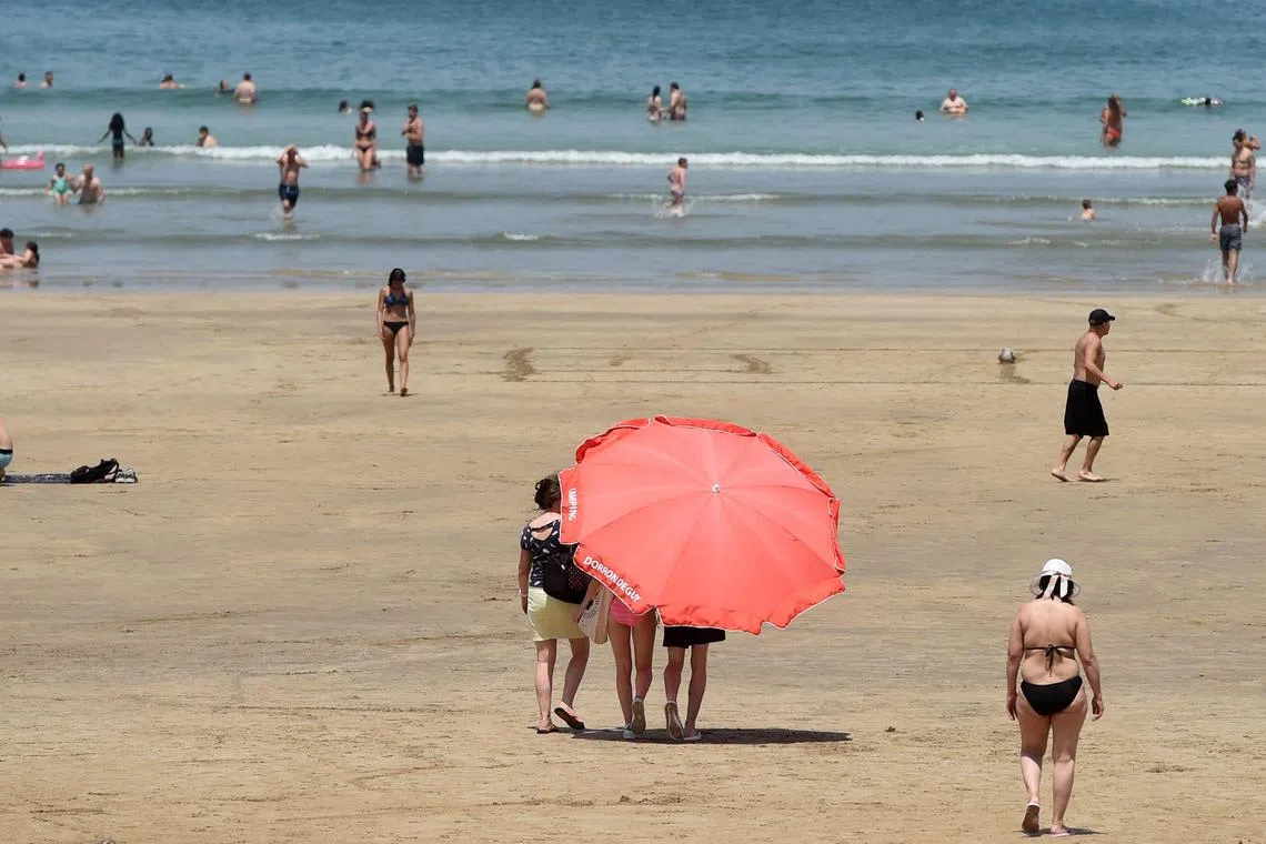
El Niño is a climate phenomenon characterised by warmer-than-normal waters in the eastern tropical Pacific Ocean.
PHOTO: AFP
NEW YORK – People the world over talk about the weather. But it is getting harder to follow the lingo as climate change messes with normal patterns, resulting in more frequent extremes of hot and cold, and wet and dry.
Here are some terms to know for a modern discussion about the weather.
1. Polar vortex
The polar vortexes are girdles of swirling cold air and low pressure surrounding the Earth’s poles. “Vortex” refers to the counter-clockwise wind pattern that helps lock the cold air near the poles.
The polar vortexes are always there, but we often hear about the Arctic one as a cause of frigid weather in the US and portions of Europe and Asia. That is because about once every other year, the low-pressure system weakens and a portion of it breaks off.
This interferes with the jet stream’s separation of warm and cold air, and the jet stream gets distorted. Under these conditions, once a high-pressure system gets in the way, the Arctic air pushes south in the shape of a bubble.
In February 2021, the northern polar vortex gave way and released a blast of icy air that reached all the way to Texas, crippling the electric grid and killing at least 210 people.
Some models have predicted that further global warming will lead to a weakening of the polar vortexes and the jet streams that usually hold them in place.
2. Jet streams
Jet streams are fast-flowing rivers of air that circle the Earth. There are four major jet streams – one each near the North and South poles, and two closer to the equator.
All travel west to east and act as buffers between different air masses, helping to steer weather systems and keep colder air north and warmer air south.
When jet streams get distorted, unusual weather patterns can emerge. For example, when jet streams are slower and weaker, they’re more susceptible to getting split.
These “double jet streams” can lock areas of high pressure in place, prolonging extreme hot or cold spells.
A 2022 study in the journal Nature Communications found that these events are lasting longer than they once did, in part because of rapid warming of Arctic land areas.
In the span of more than 40 years, double jet events explained almost all of the increasing heat waves in Western Europe and about 30 per cent of them across the continent, the study said.
3. Gulf Stream
This is a powerful North American ocean current that acts as a conveyor belt, carrying heat from the tropics in the Gulf of Mexico to the North Atlantic before cooling, sinking and returning south.
Climate models long predicted that as the ocean warmed and land ice melted, ocean circulation could be affected and slow down the Gulf Stream – a forecast that is now coming true, according to a 2021 study in the journal Nature Geoscience.
British and German scientists found that human-driven changes to the climate system had reduced the circulation to its lowest level in a millennium.
One concern is that further weakening will lead to more extreme weather events in Europe and faster sea level increases along the US East Coast.
4. El Niño
El Niño (the boy) is a climate phenomenon characterised by warmer-than-normal waters in the eastern tropical Pacific Ocean. It raises the global average temperature, compounding the effects of climate change.
Peruvian fishermen named El Niño in the 1600s for the baby Jesus when they noticed the tropical Pacific warming around Christmas some years. An El Niño like the one that started in June 2023 usually means heavy rain along the Pacific coast of the Americas.
The last big El Niño in 2015-2016 brought deadly winter floods to the US Midwest. It also reduced rainfall in much of South and South-east Asia, curbing production of rice in Thailand and coffee in Indonesia.
When the heat from El Niño is spent, the ocean begins to cool. If the sea surface temperatures fall below normal, La Niña occurs.
5. La Niña
La Niña (the girl) occurs when the surface of the Pacific Ocean along the equator cools, influencing the atmosphere above. That sets off a chain reaction among weather patterns across the world, leading to more drought in some places and more flooding and hurricanes in others.
A cycle made up of El Niño, La Niña and a neutral phase tends to play out every two to seven years. But one end of the pattern can dominate for a time: The La Niña that ended in 2023, for example, lasted for three winters, a rare occurrence.
Experts are not sure why it happens – so many variables influence the cycle that isolating the role of global warming may not be possible.
But one theory is that smoke from Australia’s worst wildfires in decades in 2019 and 2020 formed clouds over the south-eastern Pacific Ocean that absorbed heat from the sun and cooled the ocean surface. BLOOMBERG


