Nationwide geospatial 3D data made available to businesses for first time in SLA initiative
Sign up now: Get ST's newsletters delivered to your inbox

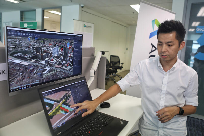
Users of the 3D Singapore Sandbox can make use of geospatial solutions provided by SLA's industry partners such as Autodesk.
ST PHOTO: JOEL CHAN
SINGAPORE - Businesses such as real estate developers will have access to nationwide geospatial data for the first time with the launch of a virtual platform on Sunday (March 22).
Residents could benefit as the developers would be able to use its geospatial data and models to visualise how new buildings can better fit in with the surrounding urban environment to improve overall liveability for the neighbourhood.
The 3D Singapore Sandbox, launched by the Singapore Land Authority (SLA), makes available geospatial data comprising over 160,000 3D-building models that will help businesses develop innovative urban planning solutions and services, among other things.
Developers, for instance, can also use the data to price each housing unit based on the amount of surrounding obstruction affecting the view from the unit.
Other applications include traffic route planning and even identifying the breeding locations of the dengue-carrying Aedes mosquitoes.
Geospatial data refers to virtual mapping information identifying the geographic location of features and boundaries in the physical environment.
"We believe the global geospatial industry is set to undergo a major transformation from 2D to 3D in the coming years," said SLA geospatial and data director and chief data officer Ng Siau Yong.
"By making available 3D city models that we have built, as well as other geospatial data, we hope innovators, entrepreneurs, industry partners and the technology community can develop and test new services and solutions."
Besides the construction sector, the SLA said it has also identified the architecture, real estate and logistics sectors as industries that could be the first to benefit from the new platform.

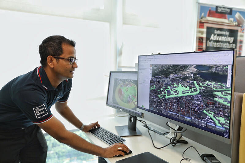
Users can also make use of geospatial solutions provided by SLA's industry partners such as Autodesk, Bentley Systems, Esri Singapore and Hexagon Geospatial.
The Sandbox will be part of SLA's geospatial industry centre Geoworks in Alexandra Road. The centre was set up in 2018 to promote business growth and drive innovation among geospatial firms.
The SLA is also working on an upgrade to OneMap - its free intelligent map service that gives people access to geospatial information contributed by government agencies.
The upgrade, which will be launched later this year, will use 3D models and renderings to project how buildings look in a neighbourhood, even for buildings that are not yet constructed.
Businesses interested to use the Sandbox can visit the GeoWorks website for more information.


