Unmanned cameras, drones part of SAF’s capabilities to hunt terrorists in potential attacks
Sign up now: Get ST's newsletters delivered to your inbox
SINGAPORE - When an active shooter incident happens here, unmanned cameras that can zoom in up to 30 times can be set up quickly to help the police hunt down the culprits.
Vehicle plate numbers can also be tracked by the Singapore Armed Forces (SAF), even in crowded places like Orchard Road, to locate possible suspects who may try to escape in vehicles.
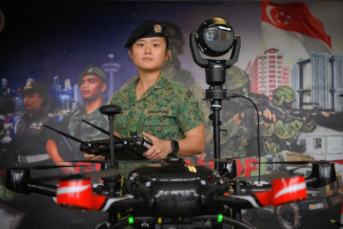
Called the unmanned pan-tilt-zoom camera, it is one of the capabilities of the SAF’s 15th Command, Control, Communications, Computers and Intelligence Battalion (15C4I Bn) that was shown to the media last Friday.
The media showcase was done in the lead-up to Exercise Northstar XI, which will take place on March 22. The national-level exercise, to be held on Jurong Island, will showcase the Government’s capabilities to handle major crises and possible threat scenarios.
Third sergeant (3SG) Loh Sin Yi, detachment commander at the Intelligence, Surveillance and Reconnaissance Company, said: “When the SAF is called upon to deal with peacetime contingencies and civil emergencies, such as terrorist attacks, the unmanned pan-tilt-zoom camera can be deployed quickly to provide real-time monitoring of the incident site.”
She added that the information gathered is sent to the command post and processed using data analytics.
Such information includes vehicle-plate recognition and crowd size trends, and can be particularly useful in long-drawn-out threat scenarios.
“This enables commanders to make informed and prompt decisions in such time-sensitive and high-pressure scenarios,” said 3SG Loh.
Tactical forward command posts are also deployed with the unmanned cameras, to allow commanders from the Island Defence Task Force (IDTF) to be situated closer to the incident for better command and control.
Established in 2010, IDTF works closely with Home Team agencies such as the Singapore Police Force and Singapore Civil Defence Force to maintain homeland security, and protect citizens and key installations here.

3SG Loh Sin Yi from the 15th Command, Control, Communications, Computers and Intelligence Battalion beside a pan-tilt-zoom camera.
ST PHOTO: MARK CHEONG
Lieutenant-Colonel (LTC) Ivan He, commanding officer of the 15C4I Bn, said each forward command post is equipped with digital systems to ensure good communication across agencies and enable their locations to be tracked for coordination and safety.
“These systems provide the IDTF with comprehensive awareness, enhancing its abilities to engage in integrated planning and coordinate responses across agencies,” he added.
Drones can also be deployed for a bird’s eye view of the incident.

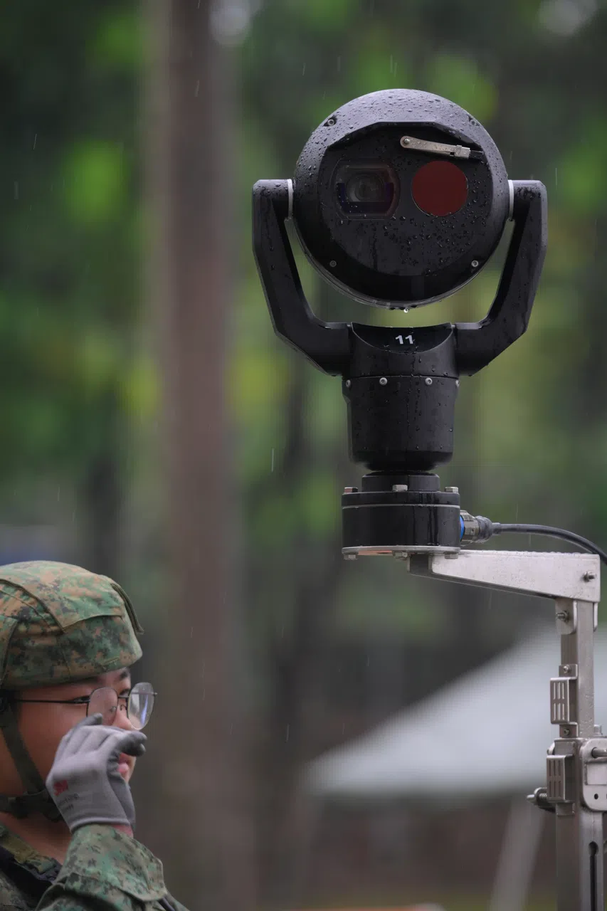
The pan-tilt-zoom camera is equipped with an integrated camera and infrared sensors to provide high-resolution imagery for both day and night operations.
ST PHOTO: MARK CHEONG
They have cameras and infrared sensors to provide high-resolution images, even at night. They are also able to monitor and track objects and vehicles of interest.
LTC He said that as the drones provide dynamic surveillance of a threat such as active shooters, multiple pan-tilt-zoom cameras can be deployed around key vantage points for added surveillance.
“Together, these capabilities can greatly enhance our situational awareness in a complex operating environment,” he added.


