Pilot to help Singapore plan for better coastal protection against rising sea levels
Sign up now: Get ST's newsletters delivered to your inbox

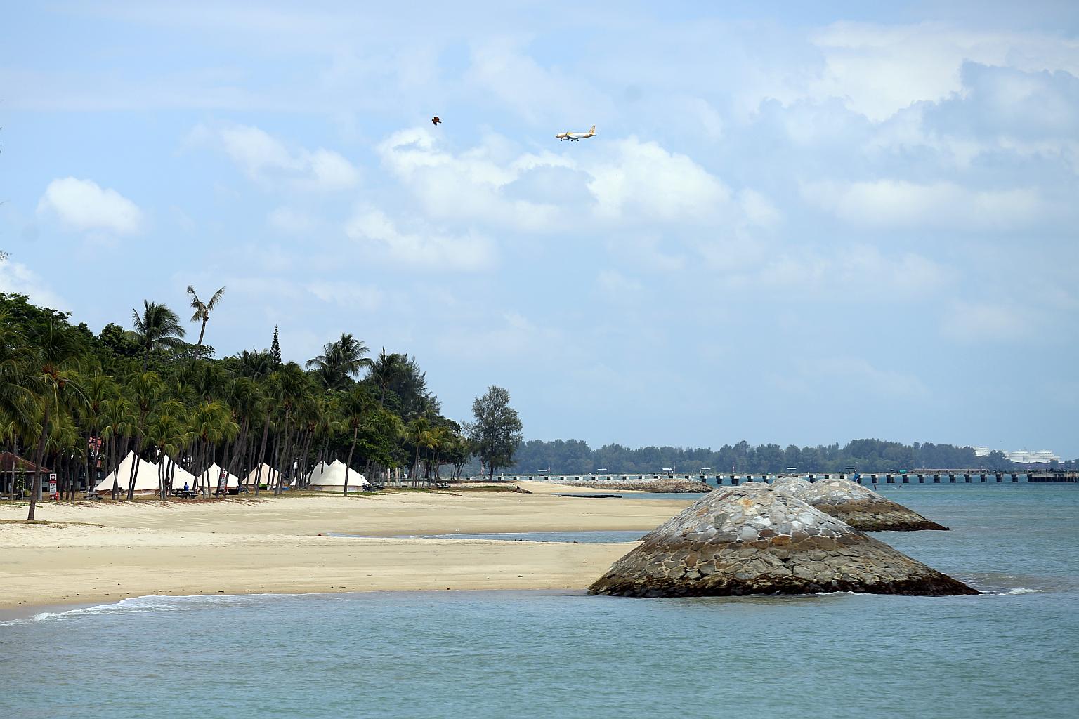
As a low-lying island state, Singapore is threatened by rising seas caused by the planet's warming.
PHOTO: LIANHE ZAOBAO
SINGAPORE - Companies, governments and academia around the world can soon help Singapore combine the digital twin of its land and sea spaces under a pilot announced on Tuesday by the local authorities and the Open Geospatial Consortium (OGC), paving the way for countries to better plan and protect coastal and critical infrastructure.
As a low-lying island state, Singapore is threatened by rising seas caused by the planet's warming, with 30 per cent of its land less than 5m above sea level.
"Any further increase in sea levels caused by climate change is an immediate threat and will put Singapore in a vulnerable position. Hence, such integration of land and marine data is important for the planning of coastal protection," said Senior Minister of State for Sustainability and the Environment Amy Khor at the opening of the fourth Singapore Geospatial Festival.
Digital twins allow users to simulate and experiment in virtual representations of the physical world.
Traditionally, data of the sea and land is collected separately, but in recent years, climate change impacts such as rising sea levels and the projected increase in storm surges have made accurate models of the intertidal zone - where the ocean meets the land between high and low tides - a key focus, said Dr Victor Khoo, director of survey and geomatics at the Singapore Land Authority (SLA).
"This pilot aims to integrate land and marine data sets for the seamless analysis and visualisation of potential climate change impacts, from water to land," he added.
Dr Khoo noted that possible proposals could include demonstrating applications that enable the authorities to integrate land and marine data.
A call for participants will be made in February 2023, with proposals expected to be ready in October 2023, said OGC senior director Trevor Taylor at the Geospatial Festival, which runs until Friday and has drawn nearly 500 in-person and virtual attendees.
The international consortium brings together more than 500 businesses, government agencies, research organisations and universities with the intention of using geospatial information, or location-based data, for societal good.
Meanwhile, at the festival's opening, local agencies announced plans to drive further deployment of geospatial technology in Singapore.
This comes on the back of existing initiatives such as the use of SLA's digital twin of Singapore to gain early insight into how to prepare for climate risks, said Dr Khor.
"Some vulnerabilities that geospatial data addresses include extreme urban heat, in-land flooding and landslides from soil erosion," she noted.

At the festival's opening, the Maritime and Port Authority of Singapore (MPA) announced it will embark on a research collaboration with the Technology Centre for Offshore and Marine Singapore to build a digital twin that can better understand and predict regional wind and currents that affect Singapore's hydrodynamic environment.
"This will further our efforts to build local capacity and tap local academic and research capabilities," said MPA assistant chief executive of operations Muhammad Segar, noting that the marine digital twin will have artificial intelligence capabilities.
On Tuesday, SLA's CEO Colin Low also signed an agreement with the Singapore Business Federation (SBF) to help transform local businesses with geospatial technologies.
Said SBF CEO Lam Yi Young: "Companies in sectors such as waste management, logistics, landscaping, retail and F&B can potentially benefit from the use of such technologies in their operations to improve productivity and reach out to their customers.
"SBF will partner SLA and other trade associations and chambers to share the solutions companies can adopt or co-develop with solution providers to maximise their business opportunities."
The National University of Singapore will also be inking an agreement with SLA on Thursday to take stock of the amount of carbon that Singapore's swamps and forests store, and their corresponding capacities to absorb carbon dioxide.
Forests are one of the world's largest carbon sinks, taking in carbon dioxide - the main greenhouse gas driving climate change - from the atmosphere.
Together, the parties will research and develop a cost-effective methodology to gauge the amount of carbon stored in these habitats, and their corresponding capacities to absorb carbon dioxide, said Dr Khor.


