NTU scientists peer into upper atmosphere to get timelier, more accurate forecasts for haze
Sign up now: Get ST's newsletters delivered to your inbox

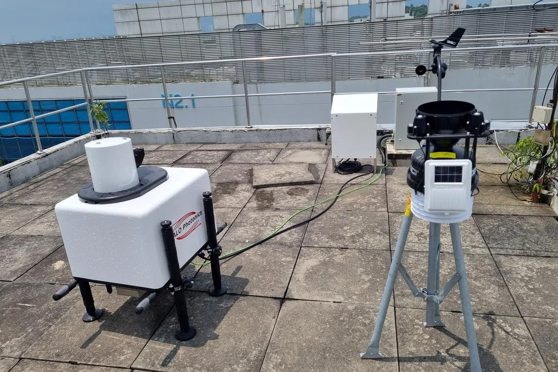
A Doppler Lidar monitoring station on the rooftop of the NTU Earth Observatory of Singapore.
PHOTO: JEFFREY ENCILLO, NTU
DeeperDive is a beta AI feature. Refer to full articles for the facts.
SINGAPORE – Scientists from Nanyang Technological University (NTU) have found a way to forecast haze earlier – by monitoring the often overlooked upper atmosphere, which carries haze particles and pollutants across regions.
With this monitoring system, they can also predict which areas in Singapore will be more affected by haze.
The upper atmosphere lies above the air people breathe in or the ground level of the atmosphere. Traditional air-quality monitoring focuses on the ground level of the atmosphere.
“If we simply look at the ground level, we may not be able to understand the whole picture of transboundary haze,” said Associate Professor Steve Yim from NTU’s Asian School of the Environment.
On the NTU monitoring system, he said: “We can get an earlier signal of haze when it appears in the upper atmosphere before aerosols are transported down to the ground. We can also determine how fast the haze will be transported down to the ground level by analysing vertical (air speed).”
To uncover how the upper atmosphere drives haze, Prof Yim and his team set up a monitoring station – which uses a type of laser technology known as Lidar – on the rooftop of NTU’s Earth Observatory of Singapore in September 2023. Lidar, which stands for light detection and ranging, provides detailed wind and aerosol profiles of the upper atmosphere.
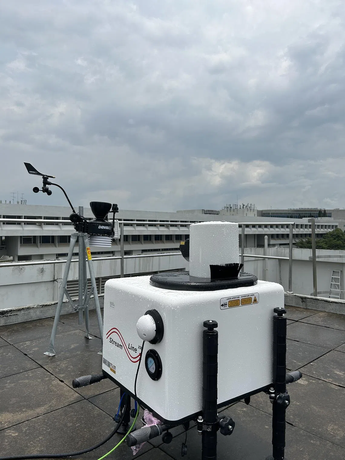
The box-like instrument can scan up to 12km of the atmosphere from the ground, but the study was limited to a scope of 3km.
The instrument was put to the test a month later on the night of Oct 6, when it detected strong winds from the south-east region carrying haze pollutants from Sumatra to Singapore.
The haze particles mixed with the ground-level air on Oct 7, eventually turning the air unhealthy that Saturday morning.
The strong winds created favourable conditions for sending the pollutants here, said Prof Yim. On Oct 7, the 24-hour Pollutant Standards Index was highest at 123 between 8pm and 9pm in the eastern part of Singapore.
The winds disappeared later in the night, and the hazy conditions eventually fizzled away the next day.
“The (existing) monitoring method strongly relies on satellite images that can provide the spatial distribution of haze. But satellite images are largely affected by cloud cover and they cannot provide the vertical distribution of aerosol and wind, limiting the forecast of when ground-level air quality will be affected,” Prof Yim said.

The box-like instrument can scan up to 12km of the atmosphere from the ground, but the study was limited to a scope of 3km.
PHOTO: HUANG TAO, NTU
The researchers’ insights on the 2023 haze episode were published in scientific journal Geophysical Research Letters in April.
To improve their monitoring of the upper atmosphere over Singapore – which also contributes to weather forecast and climate research – two more stations will be deployed in the central and northern regions by the end of 2024.
This will make the NTU project a first-of-its-kind monitoring system, where scientists can generate a three-dimensional picture of how winds and air pollution plumes move across Singapore, said Prof Yim.
This islandwide system will help provide a more accurate picture of Singapore’s air quality, and also predict areas in the country that are likely to experience more haze.
The research team is aiming to have the station in the central area operational in a couple of months.
This will coincide with the south-west monsoon between June and October that brings drier conditions, thus raising the risk of haze.
The researchers are also open to working with authorities such as the Meteorological Service Singapore to enhance haze forecasts here.


