Grab’s mapping project in Tengah aimed at solving connectivity woes plaguing residents, services
Sign up now: Get ST's newsletters delivered to your inbox

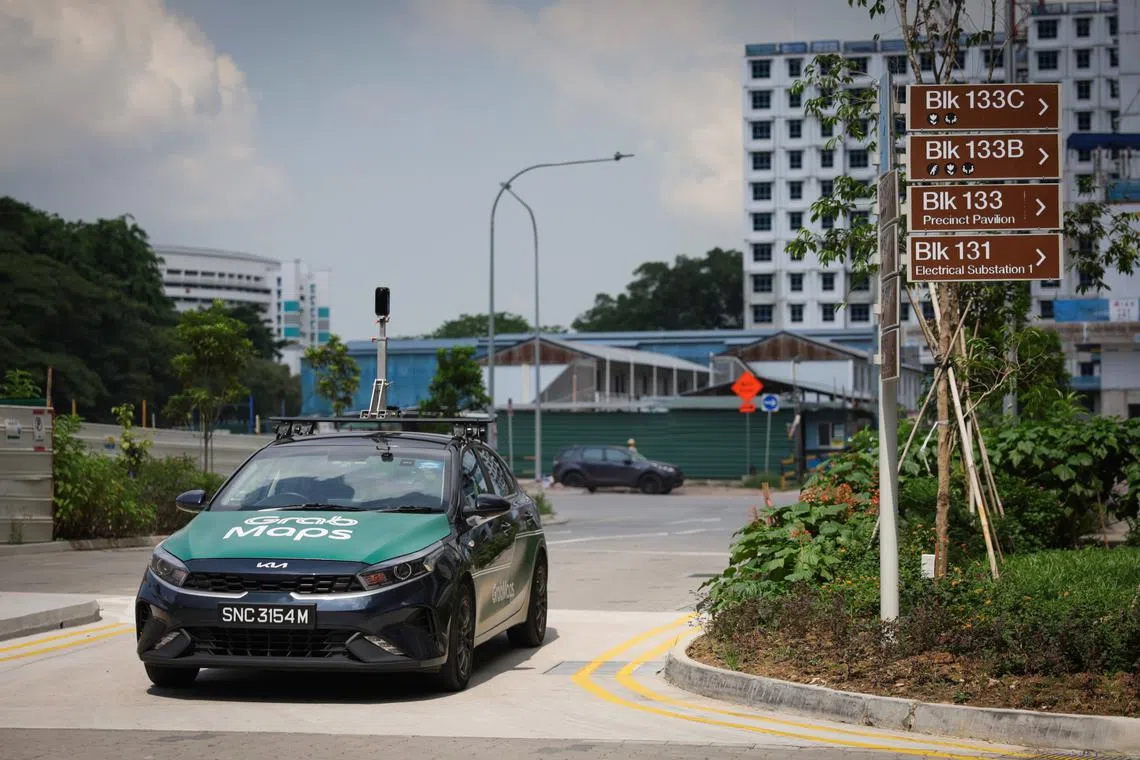
Grab's KartaCam 2 is mounted on the roof of a car to collect high-quality street-level imagery for map-making.
ST PHOTO: GIN TAY
SINGAPORE - When real estate agent Loh Zhenhao moved to Tengah’s Plantation Grange district at the end of April, he found it challenging to find ride-hailing services quickly.
Mr Loh, 40, said his wife waited in vain for almost an hour to try to get a private-hire car ride to Orchard on June 9, and he resorted to driving her there instead.
Tengah’s first batch of Build-To-Order flats
Like Mr Loh, other residents have complained about the lack of amenities and transport options, such as private-hire cars.
Drivers and delivery riders also have difficulties navigating the estate’s roads and footpaths.
This may change soon with technology firm Grab, which offers ride-hailing and delivery services, having started mapping the roads and footpaths of several precincts in Tengah in March.
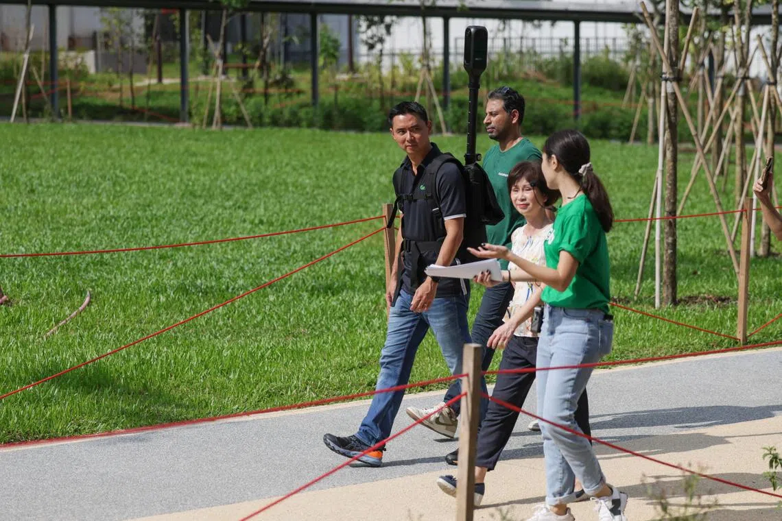
The initiative, known as Delivering Tengah!, was launched on June 13 at an event attended by Senior Minister of State for Transport Amy Khor, who observed Grab’s ongoing mapping exercise.
Grab said it had earlier received feedback from drivers and delivery partners that mapping information was not updated, resulting in delays and inconvenience.
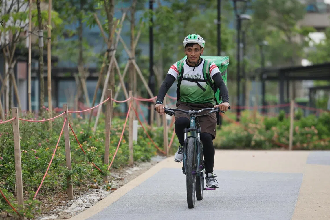
Mr Wakil Halim, 32, a Grab delivery rider for a year who has made deliveries to Tengah three times, said it is challenging and confusing to locate the lift lobbies of different blocks, as he has to mostly rely on temporary paper signs put up in the area.
“There would be a lot of time delay, so it would be frustrating for both the deliverer and the customer,” said Mr Wakil, adding that he hopes there will be an improvement in the accuracy of pinpointing locations of blocks.

Mr Wakil Halim said it is challenging and confusing when it comes to locating the lift lobbies of different blocks in Tengah.
ST PHOTO: GIN TAY
Grab said the initiative, which uses its proprietary mapping technology to update maps of Tengah’s evolving network of roads and points of interest, will ease residents’ concerns by improving access to services, such as taxi and ride-hailing services, and food and grocery delivery.
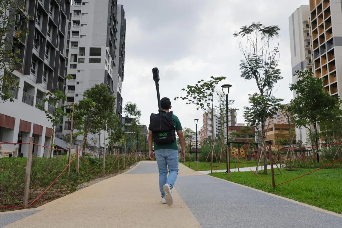
An artificial intelligence (AI)-based visual imaging tool called KartaCam 2 for GrabMaps is attached to the backpack of a Grab employee to collect street-level imagery of footpaths, and also mounted on the roof of a car to capture imagery of roads, eventually mapping the most efficient routes to take in the car-lite new town.
The KartaCam has four cameras that capture a 360-degree view of the surroundings, before this is run through AI machine learning technology to capture street signs, neighbourhood stores and changes in roadworks.
Grab declined to provide the cost of the mapping effort and said there is no firm deadline for the project, adding that the initiative will continue until the rest of the Tengah precincts are completed.
So far, the project has mapped six of the 22 precincts in Tengah that the Housing Board has opened up for residents to move into – Plantation Grange, Plantation Acres, Plantation Grove, Plantation Village, Garden Vale and Garden Vines.
Up to 10km of roads and footpaths and more than 160 points of interest, such as lift lobbies and new businesses, have been covered.

A Grab employee maps the footpaths with the KartaCam backpack.
ST PHOTO: GIN TAY
The updates collected by GrabMaps will be made available concurrently, throughout the mapping process, on open-source mapping platforms for other mapping providers, such as Google.
Mr Yee Wee Tang, managing director of Grab Singapore, said the initiative would reduce the difficulty that passengers face when trying to communicate with their drivers about designated pickup and drop-off points.

Grab Singapore’s managing director Yee Wee Tang (far left) and head of product for map making Sunny Wijewardana with Dr Amy Khor (third from left), Senior Minister of State for Transport.
ST PHOTO: GIN TAY
Dr Khor, who is the MP for Hong Kah North, said: “I’m happy that Grab is coming up with initiatives to help drivers and delivery partners improve wayfinding in the new precincts in Tengah, which complements government agencies’ efforts to improve mobile connectivity and the transport network here.
“Residents will benefit from this initiative that can help make deliveries and ride-hailing bookings more timely.”
Dr Khor also said HDB and the Land Transport Authority are working to put up more signs to improve wayfinding in the town, and the newly recorded routes have been updated on Google Maps for more detailed information.
Shops in Plantation Plaza
Mobile grocery trucks
Sales coordinator Jeanette Goh, 37, who often gives up on private-hire cars to take a bus instead, said she would not have any feelings about the initiative until she sees improvements, such as drivers being more willing to drive into Tengah estate to pick up fares.
Like Ms Goh, Mr Loh is keeping an open mind.
“I’m looking forward to Grab’s initiative, but I’ll wait and see if this will improve connectivity in the town,” he said.


