Works to guide planning of Long Island start in August, with vessels deployed off East Coast Park
Sign up now: Get ST's newsletters delivered to your inbox

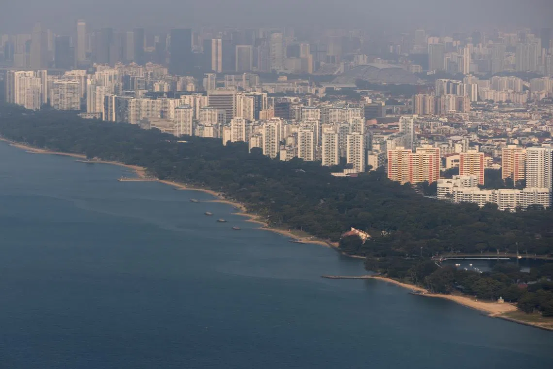
The public has been warned to steer clear of vessels surveying the waters off East Coast Park for the planning of Long Island.
ST PHOTO: GAVIN FOO
Follow topic:
- The Government is conducting site investigations off East Coast to prepare for the reclamation of Long Island.
- Barges and survey boats will be deployed for the works that started in August.
- The project, first mooted in 1991, aims to create land resilient to rising sea levels; studies began in early 2024.
AI generated
SINGAPORE – The public has been warned to steer clear of vessels surveying the waters off East Coast Park for the planning of Long Island, as site investigation works for land reclamation commence in August.
Some marine barges will be stationed in parts of the sea off East Coast Park, about 100m away from the shoreline, as survey boats comb the waters.
Those engaging in water activities there are advised to keep a distance of at least 100m from the vessels.
The Urban Redevelopment Authority (URA), in an update on Aug 25, said information gathered by these works will guide the detailed design and plan to reclaim about 800ha of land off East Coast Park
When completed, the project – currently envisioned as three tracts of land – will shield the mainland from rising sea levels and inland flooding, while creating new homes and other amenities like Singapore’s 18th reservoir.
URA said site investigation works will build an understanding of the geological and seabed conditions in the area, among other things. These works will take “a few months”, according to URA’s website.
The barges will stay at each investigation site for one to three days, as on-board rigs are used to conduct geographical borehole drilling, soil sampling and field tests.
Meanwhile, survey boats will use sonar technology to map the seafloor and submerged objects, as well as conduct geographical and cable-detection surveys.
The works are not expected to result in pollution or environmental impact, said URA.
Ryobi Geotechnique International, a Singapore-based civil engineering firm, is involved in the works.
The business, which has been acquired by Swiss multinational testing, inspection and certification company SGS, had a hand in investigation work for previous land reclamation in Singapore and infrastructure projects like the Cross Island Line.
URA did not share further details about the timeline of the works when contacted.
The concept for Long Island was first mooted under Singapore’s Concept Plan in 1991, before it was surfaced as a way to protect the East Coast area against rising seas during the 2019 National Day Rally.
Land in the area is largely lower than 5m above the mean sea level, which is the extent of projected sea-level rise by the end of this century, if extreme high tides coincide with storm surges.
In 2023, the Government announced that public agencies would carry out technical studies for the Long Island project over five years, starting from early 2024.
Since then, more than 3,000 members of the public and other stakeholders have been consulted to understand their aspirations for the new land.


