Rest of April to be warm and wet, says weatherman
Sign up now: Get ST's newsletters delivered to your inbox

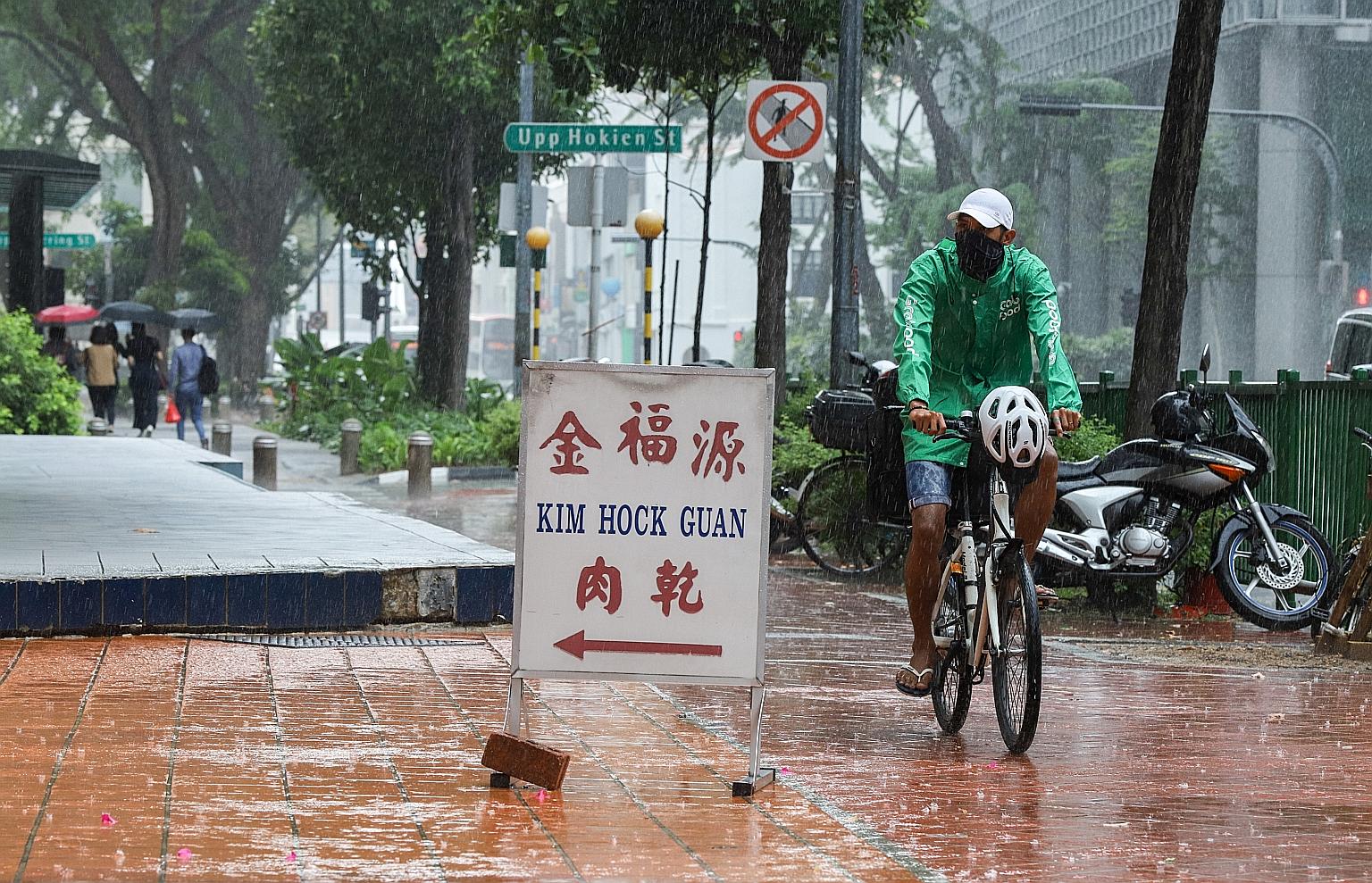
Rain falling in the Chinatown area at about 1.30pm on Monday. Short thundery showers with frequent lightning are expected on most days in the next two weeks.
ST PHOTO: MARCELLIN LOPEZ
The current warm and wet weather will continue for at least the next two weeks, the weatherman said yesterday.
This means more thunderstorms can be expected in the second half of this month, even as the temperature is forecast to hit 35 deg C on some days, according to the National Environment Agency's Meteorological Service Singapore (MSS).
The slightly windy conditions blowing from the north-west or north-east are also expected to weaken, as Singapore enters its inter-monsoon period, which will likely extend into next month.
MSS said April is typically one of the warmest months of the year, and daily temperatures in the next fortnight should range between 24 deg C and 34 deg C on most days, pushing higher to around 35 deg C on occasion.
However, the month is also rainy, with short thundery showers with frequent lightning expected on most days in the next two weeks between the late morning and afternoon.
Rainfall for this month is forecast to be above-normal over most parts of Singapore. But the next few days could first be drier and warmer due to the brief entry of a dry air mass into the region.
The expected temperature range for the next fortnight is slightly lower than that experienced by the country in the last two weeks, in which the daily maximum temperature exceeded 34 deg C on most days. During that time, MSS said, the highest temperature - 35.8 deg C - was recorded at Clementi on April 10.
The first half of this month also recorded above-average rainfall, higher than that in the second half of last month.
The weatherman singled out April 7, when the convergence of winds on a large scale over the surrounding region triggered a Sumatra squall - a line of thunderstorms which usually develop at night over Sumatra or the Strait of Malacca, and then move east towards Singapore in the early morning hours.
That day, MSS' Tuas station recorded 115mm of rainfall, the highest daily volume logged for the first fortnight of this month.


