Rainfall in past 2 weeks tops average for July
Experts say deluge caused by south-west monsoon, heating of land and Sumatra squall
Sign up now: Get ST's newsletters delivered to your inbox

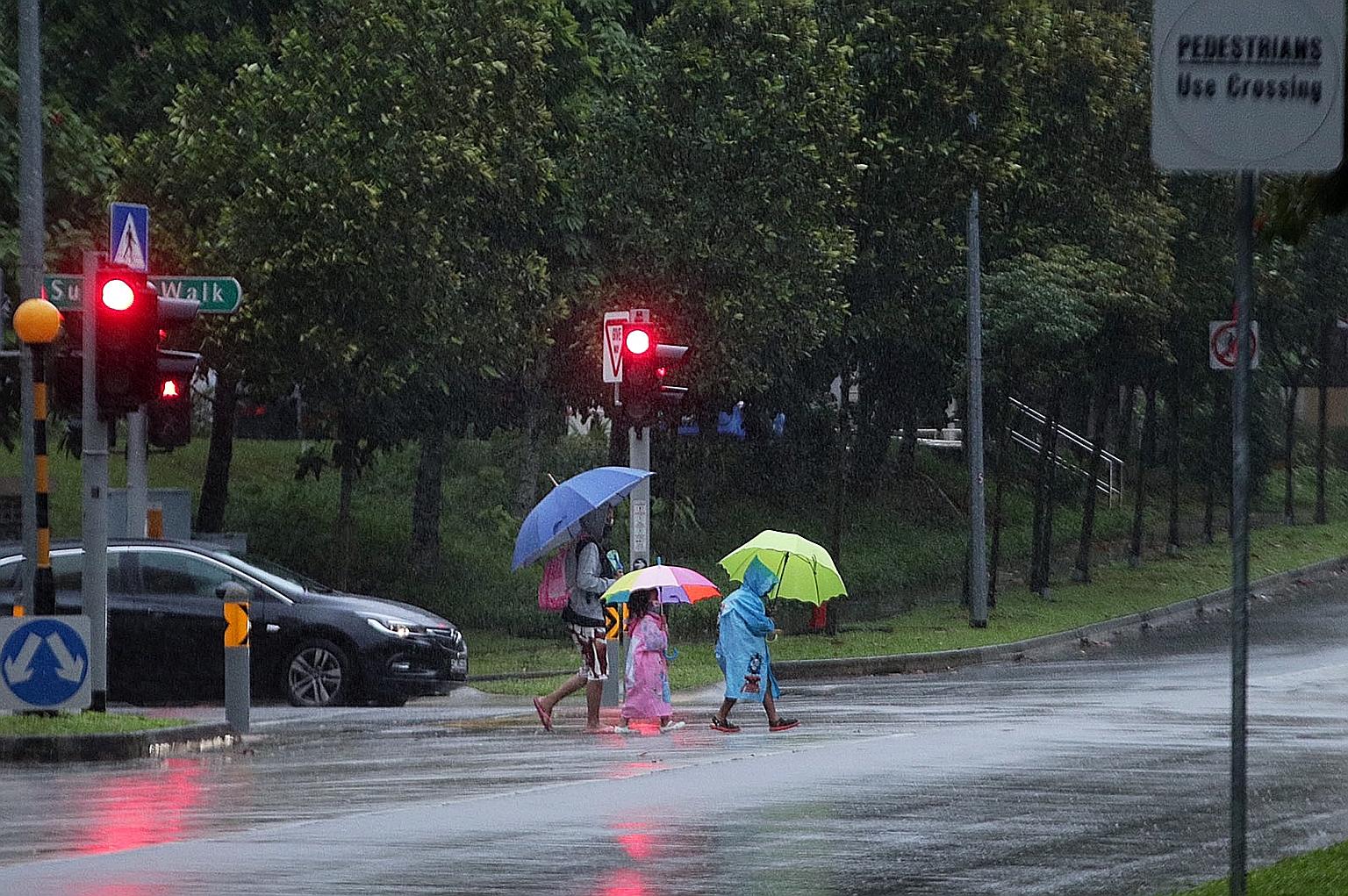
Pedestrians crossing the road in the rain at Sumang Lane in Punggol on Tuesday. On that day and on Monday, Singapore saw prolonged and widespread showers, with the mercury dipping to 22.5 deg C in Admiralty on Tuesday morning.
ST PHOTO: TIMOTHY DAVID
Rainfall patterns this month have been slightly unusual, as the total rainfall recorded over the past two weeks has exceeded the average monthly rainfall for July.
At the Changi climate station, the total rainfall recorded this month, as at 3pm on Tuesday, was 183.2mm - higher than the average monthly rainfall of 146.6mm for July in previous years, said the National Environment Agency (NEA) in a Facebook post on Tuesday.
In response to queries from The Straits Times, NEA said the highest rainfall recorded on Tuesday was 114.2mm in Bukit Panjang, and the highest on Monday was 100.2mm in Ulu Pandan.
On those two days, Singapore saw prolonged and widespread showers, with the mercury dipping to 22.5 deg C in Admiralty on Tuesday morning.
However, weather and climate scientist Koh Tieh Yong from the Singapore University of Social Sciences noted that while the weather was colder and wetter than the long-term average during this period, it is still not considered extreme.
"For comparison, the lowest daily minimum temperature for last month was 23.4 deg C, but the lowest record for June is 20.8 deg C in 1952 at Changi climate station," said Associate Professor Koh.
Dr Matthias Roth, a professor of urban climatology at the National University of Singapore's geography department, said the cooler temperature on Tuesday was due to afternoon thunderstorms and persistent cloud cover that reduced the amount of sunlight.
Weather experts said the deluge this week was caused by a combination of the ongoing south-west monsoon season, strong heating of land, and the Sumatra squall.
Sumatra squalls refer to a line of thunderstorms that develops over the Indonesian island before sweeping eastwards over Singapore. This results in short-duration heavy, thundery showers, usually during the pre-dawn hours, said Dr Roth.
Prof Koh said: "The intense convection occurs at the heart of a Sumatra squall. After that passes, higher-level clouds that make up the tail of a squall bring lighter but longer-lasting rain. This explains the longer duration of rain which can last for a good part of the day."
Convection occurs when warm, moist air rises above heavier cool, dry air, thus cooling the air and forming clouds. These clouds can then form rain and even storms.
Sumatra squalls happen throughout the year, but are more frequent during the inter-monsoon and south-west monsoon seasons, said Prof Koh.
Dr Dhrubajyoti Samanta, a senior research fellow at Nanyang Technological University's Asian School of the Environment, noted that the rainfall over Singapore between June and September is largely caused by the south-west monsoon.
NEA said in its Facebook post that the rainy weather was due to the strong convergence of winds over Singapore and the surrounding vicinity.
NEA said fair and warm weather is expected over the next few days, as a mass of dry air from the Java Sea lingers over equatorial South-east Asia during this period.
However, a climate phenomenon known as the negative phase of the Indian Ocean Dipole is forecast to occur in the coming months, which could bring more rainfall to the region, it added.


