BRANDED CONTENT
Flooding is inconvenient – now imagine if it happened all the time in S'pore
What is being done to prevent more intense rainfall and sea level rise from affecting our homes, transportation and daily life?
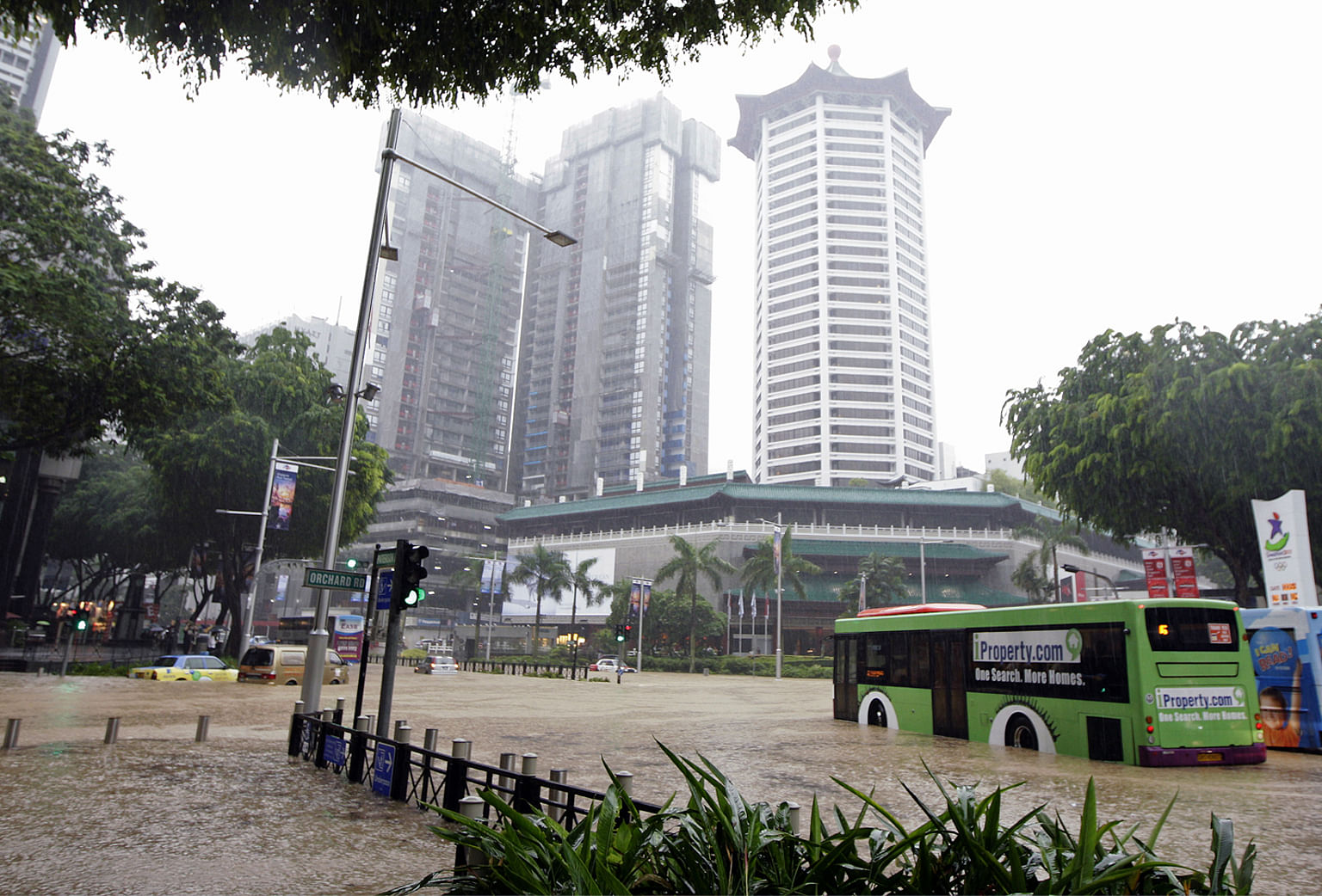
Flash floods that occurred along Orchard Road in 2010 caused traffic disruption and impacted businesses in the area.
PHOTO: ST FILE
Follow topic:
It was a wet night when Mr Norman Tan “lost” his Mercedes car.
The 50-year-old software engineer at a tech firm was headed home after dinner one evening in 2016 when it was pouring heavily, and he drove through a large pool of water on Marymount Road.
“It was much deeper than I thought,” he says. “It had been raining heavily all day.” The car engine died, and water began to seep in up to his seat within minutes, Mr Tan recalls. He had to jump out and then called for a tow truck.
Sea level rise can affect our lifestyle and even take away our livelihoods. What can we do to prevent that from happening? Watch this video to see how everyone of us can do to help.
Flash floods like the one Mr Tan experienced could become more commonplace, as climate change results in more frequent spells of intense rainfall.
And as the world gets warmer, Singapore will only get wetter. According to the Centre for Climate Research Singapore, rainfall in the Republic has become more intense in recent years.
The annual rainfall total for Singapore has increased at an average rate of 67mm for every decade from 1980 to 2019, while the yearly number of days with very heavy rain (hourly rainfall totals more than 70mm) has increased steadily at 0.2 days per decade.
This has raised concerns that roads and key landmarks – such as Changi Airport and Orchard Road – could be flooded, causing all sorts of commuting problems.
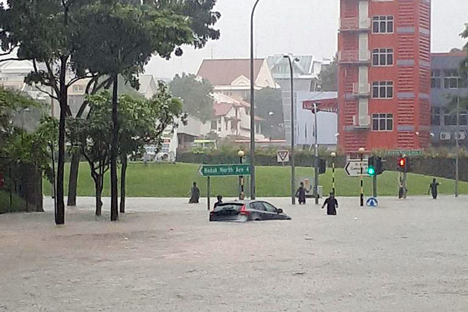
“I was stuck in the bus for a long time,” recalls Mr Eugene Chen, 38. The product specialist at a medical equipment distributor was caught in a flash flood along Upper Changi Road in 2018. When he finally arrived at the office, his manager berated him for being 30 minutes late for a client meeting.
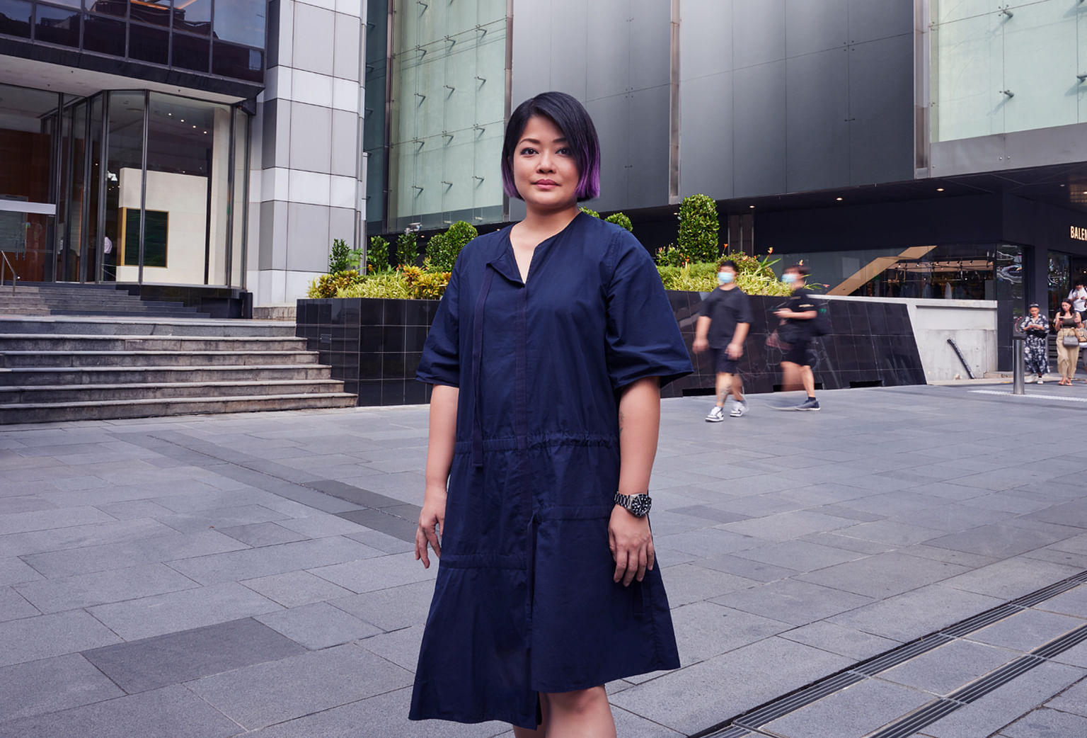
Ms Rosemarie Heng, 42, a luxury brand manager, works in the Orchard Road area that was badly impacted by flash floods in 2010.
“The flood waters reached almost to the top of basement one,” she says. “Cars parked in the carpark were left behind. The floods happened so quickly that there was no way to get them out in time.”
How does sea level rise affect Singapore?
As our planet warms, sea levels rise due to thermal expansion and the melting of polar ice. By year 2100, mean sea levels in Singapore are projected to rise up to 1 metre. This could reach 4 to 5 metres above mean sea level when combined with transient events such as extreme storm surges – which are abnormal raises in water levels – and high tides.
While sea level rise affects all countries, low-lying islands like Singapore are particularly vulnerable. One-third of Singapore is less than 5 metres above sea level, and the country’s coastal areas are at risk of being flooded by seawater.
The government has been studying solutions to tackle sea level rise since 2008. A Building and Construction Authority-commissioned study completed in 2019 found the City-East Coast area and Jurong Island would be worst affected by rising sea levels.
In 2020, PUB was appointed the nation’s coastal protection agency and it is currently conducting in-depth studies of various sections of Singapore’s varied coastline. These studies will help develop tailored solutions to suit the unique characteristics of the different coastal spaces.
High and dry
With Singapore’s small size and surrounded by water, sea level rise coupled with increased rainfall intensity associated with extreme weather will undoubtedly threaten low-lying areas with more frequent and severe flooding.
As flooded roads and buildings affect essential services, national water agency PUB, whose remit includes flood management and who more recently took on the responsibility of protecting Singapore’s coastline, is actively working to enhance the country’s flood resilience.
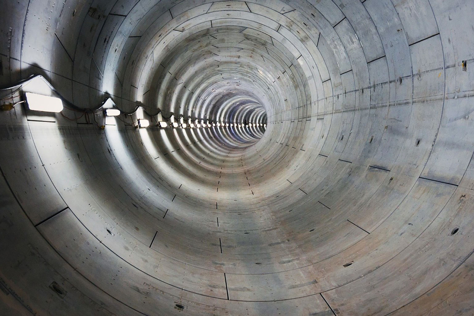
It has raised drainage design standards and been enhancing the nation’s drainage infrastructure to cope with more intense rainfall, including building the Stamford Diversion Canal and Stamford Detention Tank to prevent future flooding of Orchard Road.
The tank stores rainwater, while the 2-kilometre diversion canal, plus two more underground tunnels and a series of drains, channel water away from the shopping belt and toward the Singapore River and Marina Reservoir.
“A critical lesson was tackling the space limitations of the well built-up shopping district,” says Mr Lee Adam Harryman, senior vice president at development consultancy CPG Consultants, which designed and constructed both the tank and canal.
“There was little room to manoeuvre and implement an effective flood protection strategy, which limited the options available for the area.”
CPG is also PUB’s appointed consultant for the site-specific study at the City-East Coast area, which has been prioritised for coastal protection.
The strategy put in place to minimise future occurrences of Orchard Road being flooded is exactly what the “Source-Pathway-Receptor” approach is. It is a stormwater management strategy that PUB has adopted since 2012.
“Pathway” looks into the improvement of infrastructure such as the widening of drains and canals, while enhancement works, including building underground detention tanks, are also done in areas where stormwater runoff is generated at its source (“Source”) and where floods are likely to happen (“Receptor”).
Beyond upgrading drainage infrastructure, PUB is also focused on building community resilience by educating residents on flood protection, as well as enhancing its rainfall forecasting capabilities to better anticipate and respond to flash flood incidents.
For instance, PUB monitors reservoir and drainage operations in real time, as well as collate flood-related data island-wide via technologies such as water level sensors and CCTV cameras.
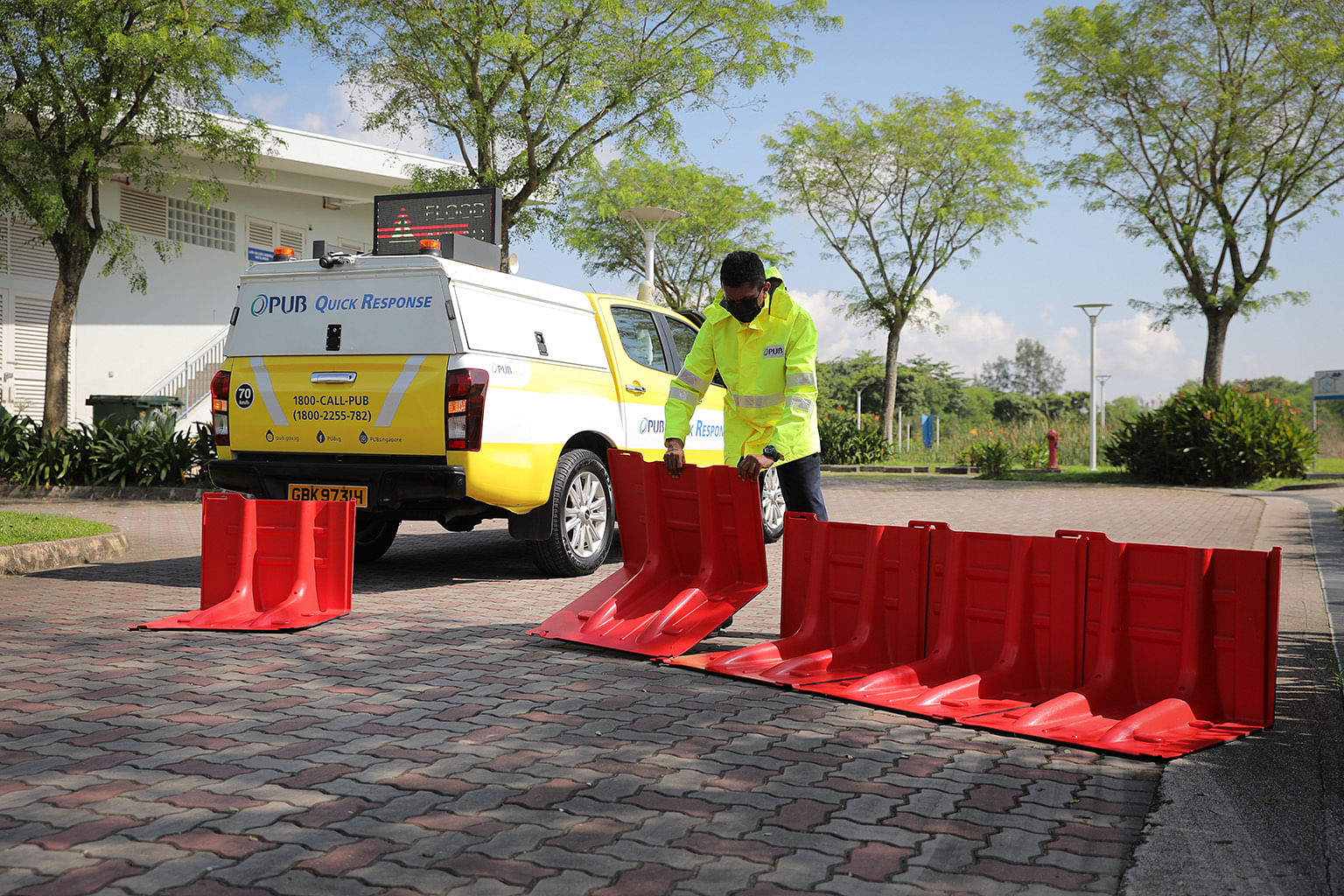
The information allows the agency to update the public on heavy rain, potential flood risk locations and flash floods on the go, via different platforms such as Telegram, social media and the myENV mobile application. It also helps PUB to deploy flood response vehicles during intense storms to redirect traffic and keep public safe.
As global warming rages and weather patterns grow ever more erratic, it is impractical to keep building or widening drains to counter extreme rainfall or eliminate flooding totally.

The answer to Singapore’s flooding woes is long-term planning for coastline and flood protection measures that consider the complex relationship between rainfall and sea level rise, as Singapore has numerous drains that directly discharge to the sea.
In 2021, PUB started developing the Coastal-Inland Flood Model to simulate flood events under higher sea levels and more intense rainfall. Based on the insights, the agency can then address the combined threats of inland and coastal flooding and guard Singapore against severe floods.
Mr Ho Chai Teck, PUB’s Coastal Protection Department’s senior deputy director, says: “(The model) will help us better assess flood risk due to intense rain, sea level rise and coastal phenomena like surges and tides.”
A flood of ideas
To ensure that flood protection measures suit the nation’s unique conditions, PUB is working with the Urban Redevelopment Authority (URA) to integrate coastal protection planning with the nation’s land use Master Plan.
“If it’s a residential area, instead of having a 2-metre wall in your face, we would recommend integrating with recreational space,” says URA executive planner Ms Juliana Tang, citing Bishan-Ang Mo Kio Park (see "A multi-functional solution to flooding") as an example of good design that integrates water bodies into the urban fabric.
Other examples of flood protection measures that double as spaces for the community to enjoy include the upcoming Holland Plain, Sungei Tampines, and Marina Barrage, she adds.
“We will find some kind of urban design or concept that we can blend in and create more value-added spaces,” says Ms Tang.
But as sea level rise and flooding are a shared challenge, the nation needs to tackle the issue as one. This includes adapting to uncertainties in climate change measurements by adopting a flexible approach to flood prevention, says Mr Ho.
“We should not make investments too early, too late, too little or too much, but ensure we get the right solutions that provide us with adequate protection. Coastal protection measures will take time to develop and it is a multi-year effort,” he adds.
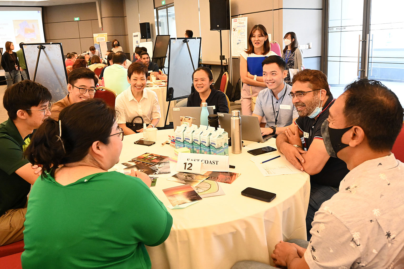
In October, 135 participants attended Our Coastal Conversation, a national dialogue series organised by PUB to seek public opinion on ways and efforts to reimagine Singapore’s coastlines.
Under a pilot project led by the Centre for Liveable Cities to engage the community, residents living in the flood-prone Cambridge Road area provided many ideas in an attempt to co-create a vision of this neighbourhood that can adapt to climate change impacts.
“Many of the ideas came from the community but what is important is that the residents have created what we call community resilience,” says Yong Kwet Yew, a professor of civil and environmental engineering at the National University of Singapore. “Because they are brought together to understand the impacts of flooding, they got to know each other, and now neighbours look out for each other."
Prof Yong, who chairs PUB’s Coastal Protection Expert Panel comprising local and international experts, hopes more neighbourhoods can emulate the Cambridge Road estate and strengthen community ownership, “because you cannot expect the government to be everywhere”.
“Singapore needs to be together to be prepared,” he says. “That, to me, is a better response, because it's an immediate response, compared to waiting for help.”
A multi-functional solution to flooding
A 3-kilometre section of Kallang River that runs through the Bishan-Ang Mo Kio Park was once a concrete canal. But from 2012, it has been transformed into a picturesque waterway under PUB’s Active, Beautiful, Clean Waters programme, which aims to integrate drainage infrastructure with existing amenities while also enhancing the natural environment.
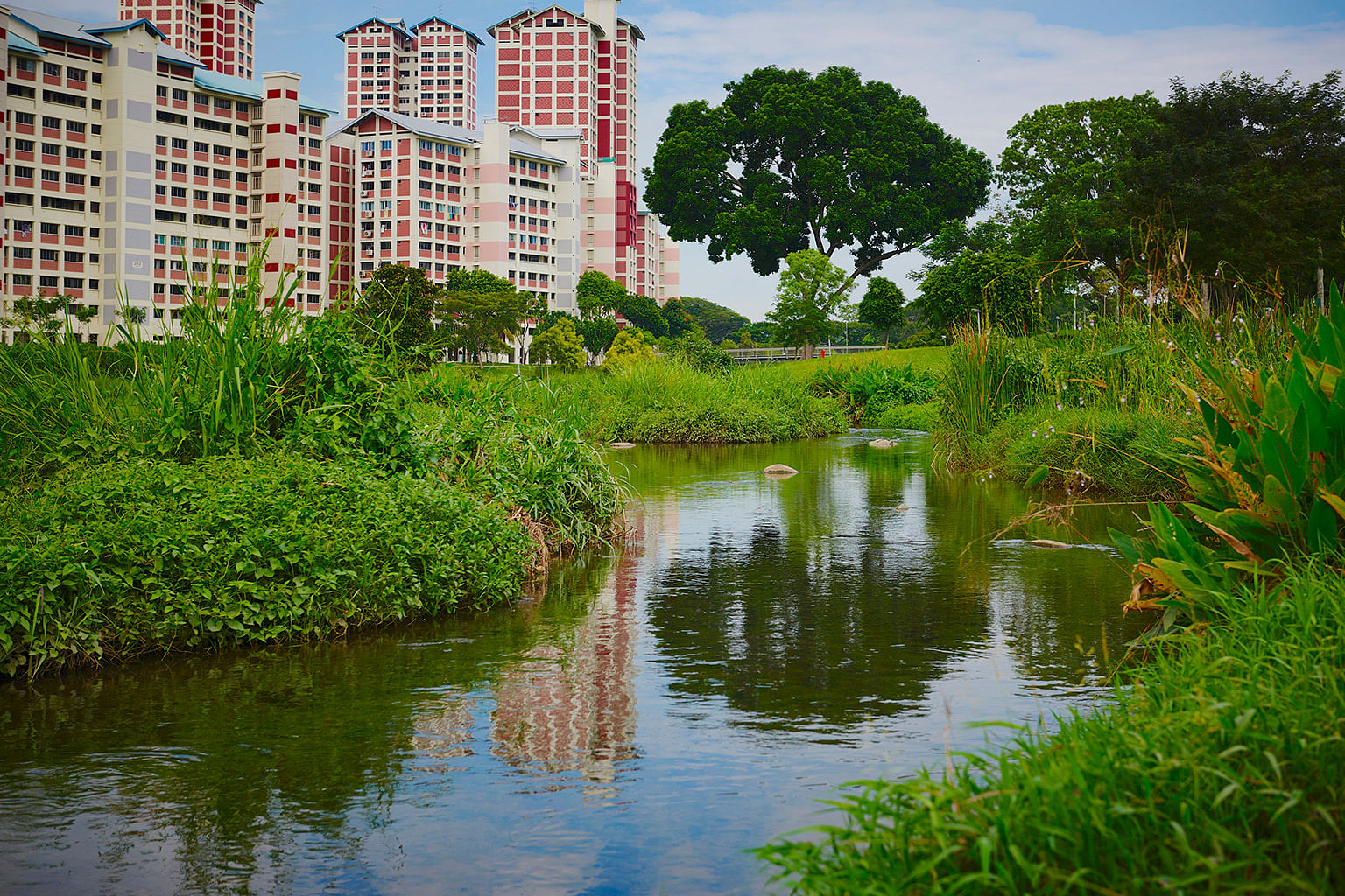
Using soil bioengineering techniques, the canal, which is linked to a complex network of drains in the city centre, was de-concretised and naturalised using plants, soil and rocks. It was designed using a floodplain concept – during a heavy storm, the areas adjacent to the waterway double as a conveyance channel to carry rainwater downstream.
During dry weather, the entire waterway is a recreational space for residents, boasting wetland plants, pond gardens, and wildlife such as dragonflies, otters, and waterhens.
This is the second of a four-part series on what needs to be done to tackle the challenge of sea level rise. Find out more at www.pub.gov.sg/CoastalProtection.
In partnership with PUB, Singapore’s National Water Agency.

