Less wet weather expected in Singapore for second half of January
Sign up now: Get ST's newsletters delivered to your inbox

For the rest of the month, the low level winds over Singapore and the surrounding region are forecast to blow mostly from the north-east or north-west.
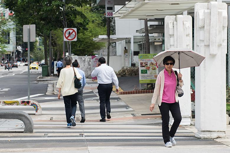
ST PHOTO: LEE JIA WEN
SINGAPORE - While the north-east monsoon is set to continue into the second half of January, there will be fewer rainy days ahead.
There will be five to seven days of short thundery showers in the afternoon, which could extend into the evening on a few days, said the Meteorological Service Singapore (MSS) in a statement on Wednesday (Jan 17).
In addition, the passage of Sumatra squalls is expected to bring widespread thundery showers, coupled with occasional gusty winds, between pre-dawn and the early morning on one or two days.
For the rest of the month, the low-level winds over Singapore and the surrounding region are forecast to blow mostly from the north-east or north-west, the MSS said.
The rainfall for the entire month is expected to be well above normal, and daily temperatures will range between 24 deg C and 32 deg C.
There will be cooler weather on some rainy days, with the daily maximum temperature set to range between 27 deg C and 29 deg C, and the daily minimum temperature between 23 deg C and 24 deg C.
In the statement, the MSS also gave a review of the weather in the first half of January, where it noted that rain fell over the island almost every day.
There was a monsoon surge in the South China Sea and the surrounding region over three days, from Dec 30, 2017 to Jan 1, it said.
As the surge weakened, the weather became cloudy and occasionally windy, with periods of light to moderate rain.
Daily temperatures ranged from 22.7 deg C to 27.3 deg C during that period.

However, several days in the first week of the year saw moderate to heavy thundery showers fall in the afternoon and evening.
This was due to the strong solar heating of land areas with the convergence of winds, the MSS said.
On Jan 8, a temporary change in the winds to blow from the south-west led to the passage of a Sumatra squall in the pre-dawn hours and morning.
The squall brought widespread thundery showers over the island, with the Paya Lebar area recording 131.8mm of rain in a day - the highest total daily rainfall for the first fortnight of January.
From Jan 10 to 14, there was a second monsoon surge in the South China Sea and the region, which brought with it overcast skies, windy conditions and widespread rain to Singapore for five consecutive days.
Over this period, the daily maximum temperature was between 24.3 deg C and 28.5 deg C, while the daily minimum temperature dipped to a low of between 21.2 deg C and 22.4 deg C.
In the first fortnight of 2018, the daily maximum temperature ranged between 24.3 deg C and 33.2 deg C, while the daily minimum temperature ranged between 21.2 deg C and 23.7 deg C.
The lowest temperature of 21.2 deg C was recorded on Jan 14 in Admiralty and Jurong West.
Meanwhile, rainfall levels were significantly above normal in the first half of January, said the MSS.
The highest rainfall of 339.4mm was recorded in Paya Lebar, which the MSS said was 206 per cent above average.
The lowest was in the Bukit Panjang area, which recorded a rainfall of 162.5mm - or 44 per cent above average.
The public can visit the MSS website for updates on the daily weather forecast.


