First islandwide survey to uncover what lies beneath Singapore and its earthquake risk
Sign up now: Get ST's newsletters delivered to your inbox

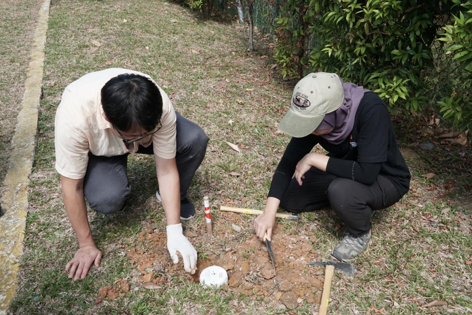
PhD students at the Asian School of the Environment, NTU, deploying a seismic node at Canberra Secondary School.
PHOTO: ANTOINETTE JADE, EARTH OBSERVATORY OF SINGAPORE, NTU
Follow topic:
SINGAPORE - For the first time, an islandwide geophysical survey has been conducted to uncover what lies beneath Singapore.
With land in scarce supply and as the nation looks to decarbonise its energy resources, the underground study could unravel the potential for carbon storage and the possibilities of harnessing geothermal energy in the future.
Conducted in 2019 by a team of researchers from the Nanyang Technological University's Earth Observatory of Singapore (EOS), the survey's aim was to help researchers understand underground structures and uncover the risk of earthquakes that the country may face.
The centre of Singapore is made of a hard volcanic rock known as Bukit Timah granite, but little is known about how far below the ground this granite lies, said Dr Karen Lythgoe, a seismologist with EOS who led the research study.
"Granite may be a good rock for building underground structures, although it is difficult and expensive to drill through, which is where seismic imaging comes in helpful," she said.
A total of 88 seismometers were deployed across the island, including in schools, parks, nature reserves and weather stations, to detect seismic events and background noise.
Much like having 88 "ears", the network of seismometers was sensitive enough to detect even the slightest bit of noise or shaking.
Over a 40-day period, the scientists detected seismic signals from more than 100 thunderquakes, as well as significant man-made activities, which could include construction work, in north-east Singapore. Thunderquakes are rumbles or ground motions caused by thunder.
Earthquakes from farther away, including in neighbouring countries, were also detected. For instance, the researchers were able to detect a "reasonably small" earthquake about 100km north of Singapore.
"What this tells us is that there are active geological faults in this area," said Dr Lythgoe.
Geological faults refer to cracks in the earth's crust. In an active fault, pieces of rock move along the fault line, causing earthquakes.
"So what we want to be able to do is to monitor this in the longer term, to understand the locations of earthquakes near Singapore," she added.
There are no records of earthquakes occurring in Singapore, though the Republic has periodically experienced low-level earth tremors caused by earthquakes in Sumatra, Indonesia, said Dr Lythgoe.
The study findings were published in scientific journal Geophysical Journal International in April.

A node being installed in Jurong Central Park by Pyae Sone Aung, Earth Observatory of Singapore, NTU.
PHOTO: Jeffrey Encillo, Earth Observatory of Singapore, NTU
Using the same data set, the researchers published another study looking at large-scale structures that lie beneath Singapore, down to 340km in depth.
"What we found is that there was a clear difference between the western side of Singapore and the eastern side, across what's called the Bukit Timah Fault," said Dr Lythgoe.
"From geological evidence, we know that the fault was once active... a long time ago."
Assistant Professor Wei Shengji, who was principal investigator of the study, said seismic event detection in the past was not complete due to the sparsity of seismic networks in and around Singapore.
"With these new approaches, we would be able to find more seismic events, either produced by the tectonic faults or by human activities," said Prof Wei.
Such data can be useful when Singapore increasingly looks underground to expand its resources, such as for carbon sequestration, he added.

