Coastal barriers to debut in S’pore: How do they shield shores from extreme sea levels?
Sign up now: Get ST's newsletters delivered to your inbox

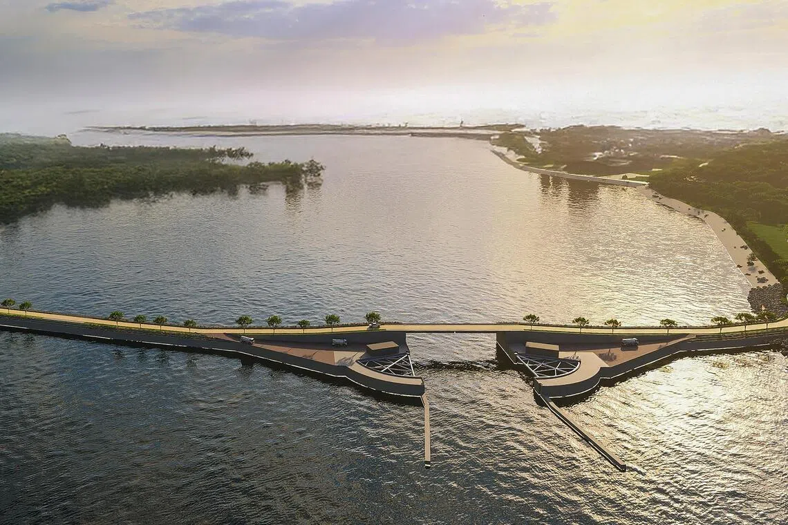
An artist’s impression of a coastal barrier that also provides enhanced transport connectivity between Sentosa and Pulau Brani.
PHOTO: PUB
Follow topic:
- Singapore plans to construct coastal barriers by the 2030s, linking Sentosa to the mainland, to protect the Greater Southern Waterfront from storm surges.
- These barriers, similar to the Maeslant Barrier in Rotterdam, aim to mitigate rising sea levels and extreme storm surges that could raise sea levels by up to 4m.
- Studies will assess construction methods, environmental impact, and the possibility of the barriers serving as causeways or educational sites, and the barriers on the south-western coastline will be compared to shoreline protections, according to Prof Jonkman.
AI generated
SINGAPORE – From the 2030s, three novel structures that will protect Singapore from rising sea levels will start to take shape on the nation’s southern coast.
Called coastal barriers, these arm-like gates can open and close depending on weather conditions. It is the first time that such a coastal protection solution – a Dutch innovation – will be implemented in the Republic, national water agency PUB announced in end-August.
In response to The Straits Times’ queries on how such a barrier would be operated, Professor Bas Jonkman from Delft University of Technology in the Netherlands cited the example of the Maeslant Barrier in Rotterdam, pointing to how the public is alerted to the barrier closure at least 12 hours ahead of time.
“The warning needs to give sufficient time for vessels to move, and advanced forecast models are in use for this,” he said.
He added that many vessels move out of the Rotterdam port ahead of an incoming storm as it is safer in the ocean.
At the port, there is a higher risk of collisions with waterfront structures and other ships.
The closure of the gates themselves could take about two hours, and they remain closed “for several hours to stop the peak of the storm surge”, said Prof Jonkman, who is also a member of PUB’s Coastal Protection Expert Panel.

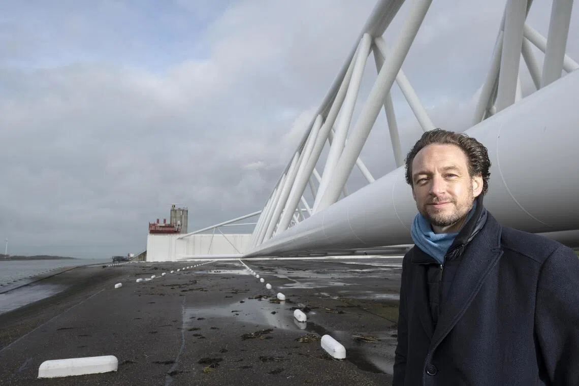
Professor Bas Jonkman at the site of the Maeslant Barrier in the Netherlands.
PHOTO: MISCHA KEIJSER
Coastal barriers are aimed at protecting an area from storm surges – higher-than-usual tides caused by storms brewing offshore.
By 2100, average sea levels around Singapore could rise by up to 1.15m. Storm surges can add another increase of 3m or 4m and cause coastal flooding if the shores are not protected.
In Singapore, a storm surge event could last three to five days. When such events are predicted here, the planned barriers will close for a few days.
The Republic intends to build two barriers linking mainland Singapore to Pulau Brani, and Brani to the north-west coast of Sentosa. The third barrier is expected to link western Sentosa to the mainland.
ST had earlier reported that government agencies here will further study the possibility of having the barriers serve as a “causeway” for visitors to reach Brani and Sentosa from the mainland.
Prof Jonkman told ST that such multi-use barriers are feasible, and some have already been rolled out in the Netherlands.
For example, the Eastern Scheldt Barrier in the Dutch province of Zeeland functions as both a bridge and a coastal barrier, he said.
There is also potential for the barriers to be an educational site on coastal protection for students and visitors, much like Marina Barrage is for water resources, he added.
While PUB has announced plans for the three coastal barriers in the Greater Southern Waterfront area in Singapore’s south, such infrastructure could potentially be deployed in other parts of the country’s shoreline.
The agency has since 2023 been studying the feasibility of installing coastal barriers near the south-western coastline – including Jurong Island, Pasir Panjang Terminal and the Tuas shipyards.
Prof Jonkman said: “This will require a comparison between a shoreline protection strategy and a barrier strategy, based on costs and impacts on the port and other functions. If there is heavy shipping, we need to find gate types that do not restrict it.”
He added that coastal barriers could also be part of Singapore’s future Long Island reclamation project that will protect the East Coast area.
Long Island is envisioned as three tracts of land reclaimed to higher levels off East Coast.
The initial barrier designs to protect the Greater Southern Waterfront were from infrastructure consultancy CPG Consultants, which worked with global engineering consultancy Haskoning on the study looking into coastal protection solutions for Singapore’s south-eastern coastline.
Haskoning’s flood risk expert Matthijs Bos, who is also from the Netherlands, said he had done analyses which found that extreme storm surge events that raise sea levels by 3m above Singapore’s average sea levels are likely to happen once every decade.
Given this, Mr Bos said he expects Singapore’s coastal barriers to close once every 10 years.
In the Netherlands, the Maeslant Barrier has closed only about three times since it was built in 1997, said Prof Jonkman.

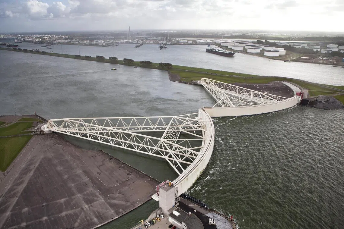
The Maeslant Barrier in the Netherlands.
PHOTO: THEO BOS
It last closed in December 2023 before Storm Pia hit the Netherlands. The gates are programmed to close automatically when water levels are expected to rise by 3m, based on weather forecasts.
But with climate change resulting in more extreme weather events and higher mean sea levels, coastal barriers could be deployed more frequently.
Prof Jonkman said he expects that the Maeslant gates could close about once a year during extreme weather.
He added that compared with building a closed permanent dam as a coastal protection measure, coastal barriers can help keep a waterway open for shipping and environmental flows.
In the next couple of years, Singapore will further study the design of its coastal barriers, which will involve looking at construction methods and doing environmental impact assessments.
Prof Jonkman said coastal barriers could have an effect on the environment and ecology, and this needs to be looked into.
The Eastern Scheldt Barrier, which was built about 40 years ago, led to the loss of wetlands and intertidal areas.
“Nowadays, barrier designs are more open, having less construction in the waterway, leading to less environmental impacts,” Prof Jonkman said.
Nature groups told ST previously that the coastal barriers may impact a reef and Tanjong Rimau on Sentosa, and the mangroves of Berlayer Creek in Labrador.


