$13.4m computer modelling system to help identify flood risks
It will predict how sea-level rise and heavier rainfall will affect Singapore
Sign up now: Get ST's newsletters delivered to your inbox

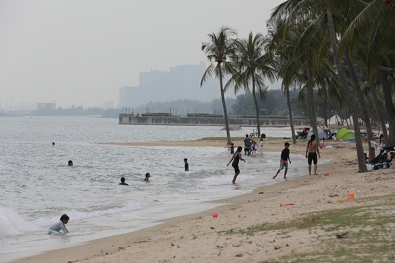
People enjoying the beach at East Coast Park last month. The coastal model will simulate potential changes in waves near the shore, as well as storm surges within the region.
ST PHOTO: ONG WEE JIN
Singapore is taking steps to better prepare itself for flooding episodes brought on by climate change by developing the nation's first computer modelling system that can help predict how sea-level rise and heavier rainfall could impact the country.
Work has begun on the $13.4 million Coastal-Inland Flood Model being co-developed by national water agency PUB, the National University of Singapore (NUS) and water management solutions provider Hydroinformatics Institute.
This will help PUB predict and take steps to pre-empt flooding in different scenarios - a priority for this low-lying nation which has about 30 per cent of the island less than 5m above the mean sea level.
Sea levels around the island are now about 14cm higher than the levels before 1970, according to the Meteorological Service Singapore's 2019 climate assessment report.
The system will simulate and evaluate both coastal and inland flood risks separately or together to carry out flood risk analysis for different scenarios.
The coastal model will simulate potential changes in waves near the shore as well as storm surges within the region under different climate change scenarios.
The inland model can simulate flooding in the urban areas caused by various reasons such as heavy and intense rainfall, and changes to sea level.
Advanced modelling techniques will be used to enhance the accuracy and speed in simulating flows caused by rain within Singapore's densely built-up water catch-ment areas.
Hydroinformatics Institute director Martin Lechner said the company aims to provide faster, more accurate and more visual water management insights to the model.
The computer model will take four years to build.
The Ministry of Sustainability and the Environment announced last month that coastal protection strategies along the City-East Coast stretch, Lim Chu Kang, Sungei Kadut and around Jurong Island will be completed by 2030.
Site-specific studies will start this year at the City-East Coast stretch and Jurong Island, which had earlier been identified as being vulnerable to rising sea levels due to their highly urbanised and industrialised nature.
The project team building the computer model will be led by NUS department of civil and environmental engineering's Distinguished Professor Philip Liu.
Prof Liu is internationally recognised for his work on coastal engineering and wave modelling, and has been instrumental in developing tsunami and coastal disaster resilience technology in Taiwan and the South China Sea region.
"We are developing (the model) specifically for Singapore's unique urban and coastal environments," said Prof Liu. "The modelling techniques, once ready, are transferable to other coastal cities in the tropical region in the future, where viable."
Climate change will also lead to erratic rainfall, such as dry spells and bouts of more intense rainfall, which can contribute to flooding.
Ms Hazel Khoo, director of PUB's Coastal Protection Department, noted the upward trend of average annual rainfall and frequency of heavy rainfall in recent years.
"Given the uncertainties in climate science, protecting our coastlines will always be a work in progress, but we aim to stay ahead of the curve," she added.


