SLA to map out barrier-free routes for wheelchair users in national OneMap
Sign up now: Get ST's newsletters delivered to your inbox

The data is being used to develop a pilot test app version of OneMap, which will be tested by wheelchair users over the next six months.
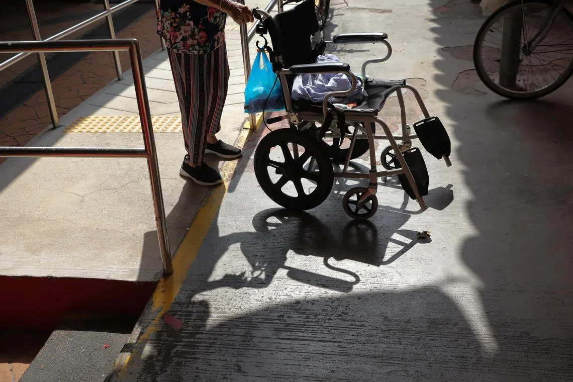
PHOTO: ST FILE
Follow topic:
SINGAPORE - The Singapore Land Authority (SLA) is looking to map out barrier-free routes for wheelchair users for its digital resource OneMap.
Starting with Bukit Merah and Gardens by the Bay, the initiative has used geospatial artificial intelligence to collect data on covered linkways, ramps, footpaths, pedestrian crossings and overhead bridges with lifts that are wheelchair-friendly in these two areas.
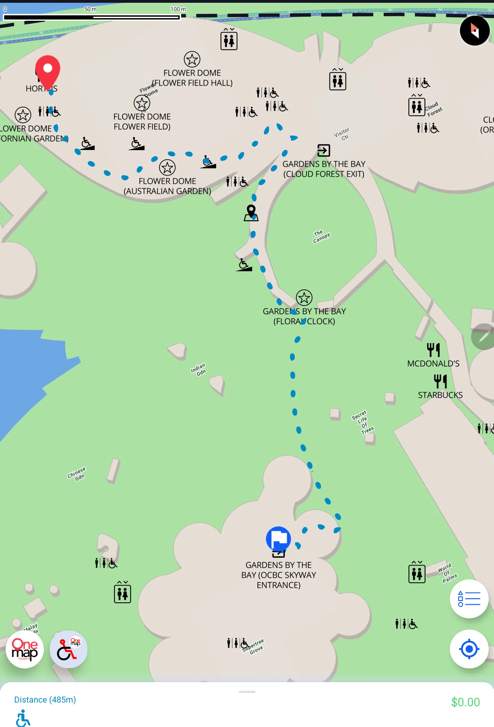
The data with barrier-free access routes has been used to develop a pilot test app version of OneMap, which will be tested by 200 to 300 wheelchair users over the next six months. The aim is to collect feedback and suggestions to improve the mapped areas of Bukit Merah and Gardens by the Bay.
Announcing the project at the opening of Geo Connect Asia 2023 on Wednesday, Senior Minister of State for Transport, and Sustainability and the Environment Amy Khor said: “This (new initiative) addresses a current gap, where routing services on mainstream platforms do not differentiate between regular pedestrian routes and barrier-free ones.”
For this project, the SLA is collaborating with SG Enable, an agency for people with disabilities under the Ministry of Social and Family Development, as well as Gardens by the Bay.
Chief executive of SG Enable Ku Geok Boon said the partnership for this pilot project will identify barrier-free routes and enable navigation within the selected areas. Bukit Merah was chosen because the Enabling Village, which is Singapore’s first community space for people with disabilities, is in the vicinity.
“But barrier-free routes would also benefit our wider community, especially our seniors on wheelchairs and families using prams,” added Ms Ku.
SLA plans to work with other organisations to expand barrier-free access routes islandwide.

The pilot test app version of OneMap maps out barrier-free access route in Bukit Merah and Gardens by the Bay.
PHOTO: SLA
Mr Ng Siau Yong, director of geospatial and data division at SLA, said data collection to identify barrier-free access features using geospatial artificial intelligence will take place in other parts of Singapore over the next few months.
While there are plans to eventually add the barrier-free access routing function to OneMap as an additional mode of navigation, no timeline has been given.
Mr Ng said: “It is not going to be easy because Singapore has thousands of kilometres of walkways, barriers and barrier-free access features. It is important that we collect our data accurately so that wheelchair users can use the routing function much better in future.”

