10km coastal promenade in Greater Southern Waterfront to be part of 5 new 'identity corridors'
Sign up now: Get ST's newsletters delivered to your inbox

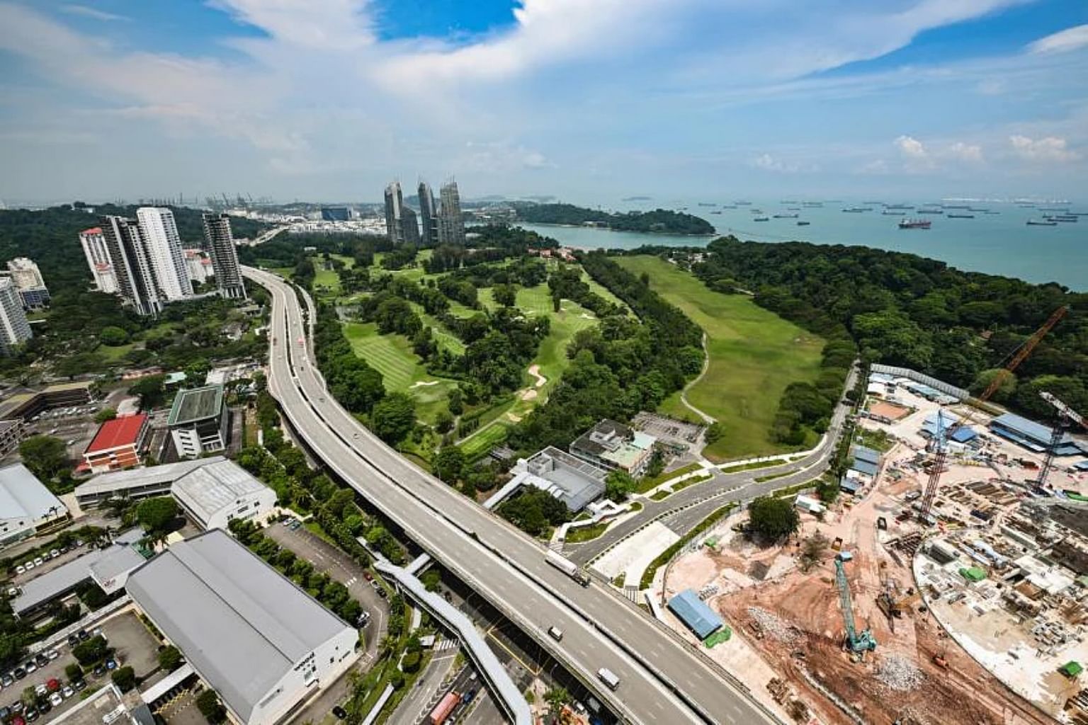
Three port terminals will vacate the Keppel Harbour area, freeing it for developments as part of the Greater Southern Waterfront.
ST PHOTO: LIM YAOHUI
Follow topic:
SINGAPORE - Centuries before Henry Keppel surveyed the waters off Telok Blangah for a potential new harbour in the mid-1800s, the strait had already been actively used by explorers and traders from the East and West.
Seamen coming from the Straits of Malacca in the 15th to early 18th centuries would pass by Singapore en route to the South China Sea.
In 1849, a survey by Keppel concluded, laying the foundation for a new harbour that would be completed in the 1880s and named after him in 1900.
Come 2027, three port terminals - Tanjong Pagar, Keppel and Brani - will vacate the Keppel Harbour area, freeing it for developments as part of the Greater Southern Waterfront.
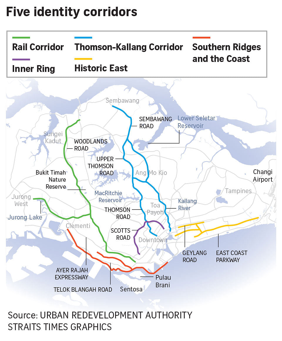
Among these will be a waterfront promenade of about 10km that links Marina Barrage to the Southern Ridges. It will be part of a coastal corridor that stretches from Marina Barrage as far as West Coast, linking the heritage and unique streetscapes of Singapore's southern coast.
The corridor is one of five "identity corridors" announced by the Urban Redevelopment Authority (URA) at the launch of its long-term plan review exhibition on Monday (June 6).
"Identity corridors" are a new initiative aimed at strengthening the identity of distinctive places and safeguarding the nation's heritage.
The other four corridors are: Thomson-Kallang Corridor, an "inner ring" linking fringe districts around the city centre, Geylang-Changi Corridor that is known officially as Historic East, as well as the Rail Corridor.
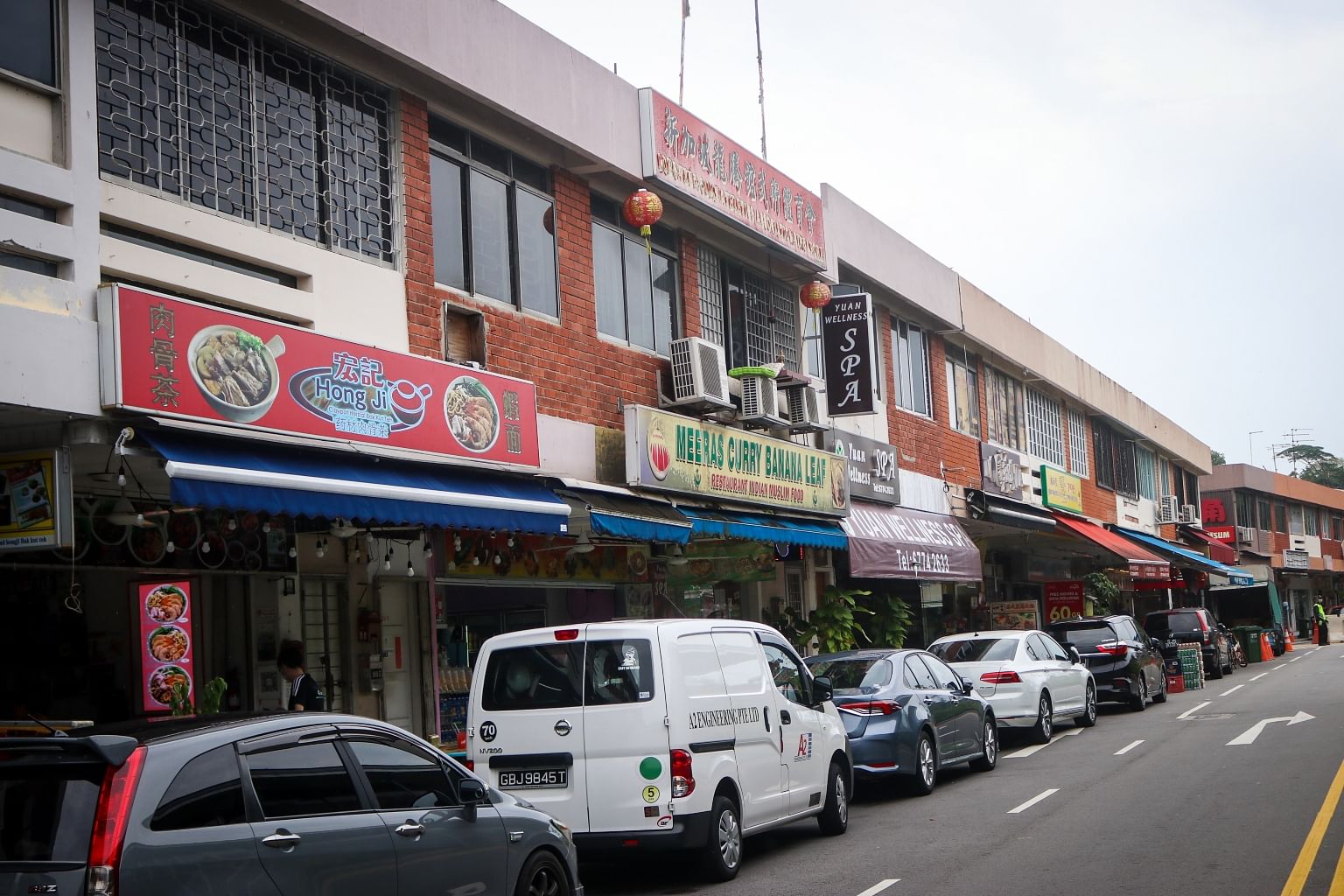
URA had previously said the corridors build on a previous initiative - the Identity Plan from the early 2000s - which identified areas such as Changi Village, Morse Road (in Telok Blangah) and Jalan Besar as "identity nodes" with a distinctive local character that ought to be retained.

In a speech on Monday, National Development Minister Desmond Lee said the authorities will "use thoughtful urban design to preserve and enhance the unique character" of these corridors, and also improve the pedestrian and cycling experience.
URA said it would seek ideas from the public to make the seafront promenade in the Greater Southern Waterfront a distinctive public space.
Community inputs will also be sought to create public spaces along the Thomson-Kallang Corridor, which runs by the identity nodes of Springleaf, Thomson Village as well as Jalan Leban and Casuarina Road.

URA is also exploring the addition of walking and cycling facilities to encourage people to visit city fringe neighbourhoods that are linked in a circular fashion by Zion, Kim Seng, Scotts, Newton, Moulmein, Balestier, Lavender and Crawford roads.
Similarly, it is considering walking and cycling improvements for the Historic East Corridor, on top of previously announced plans to rejuvenate Geylang Serai.
International Council on Monuments and Sites Singapore president Yeo Kang Shua said that enhancing these corridors is a long-term undertaking.
Citing the historical Joo Chiat area, Dr Yeo said that several newer buildings have been built farther away from the street compared with conserved shophouses owing to development rules. This affects pedestrians’ experience of the street.
Dr Yeo said that while the authorities have in recent years aligned buildings in conservation areas outside of the city centre with neighbouring conserved buildings, such streetscape enhancements for identity corridors will only be felt over a longer period when non-conserved buildings are redeveloped.

