Magnitude-7.3 earthquake strikes Indonesia; 2-hour tsunami warning lifted
Sign up now: Get insights on Asia's fast-moving developments

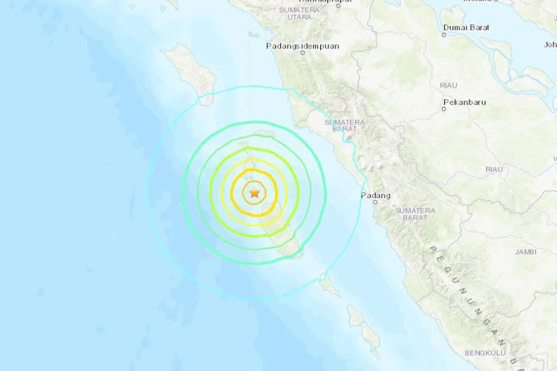
The quake was at a depth of 20 km.
SCREENGRAB: USGS
SUMATRA - A magnitude-7.3 earthquake struck west of Indonesia’s Sumatra Island on Tuesday, Indonesia’s geophysics agency BMKG said, triggering a tsunami warning for around two hours.
The tsunami warning, asking the local authorities to immediately instruct residents of the affected area to move away from shores, has since been lifted.
The European-Mediterranean Seismological Centre earlier pegged the quake at 6.9 magnitude.
The quake, at a depth of 84km, hit at about 3am local time.
A number of aftershocks were detected later, and one registered 5 magnitude, BMKG data showed.
Indonesia’s disaster mitigation agency said the authorities were collecting data from the islands nearest the epicentre off the western shore of Sumatra, spokesman Abdul Muhari said.
In Padang, the capital of West Sumatra, the quake was felt strongly, and some people moved away from the beaches, said Mr Abdul, who was in Padang.
“People left their homes. Some were panicking, but it’s under control. Currently, some of them are evacuating away from the sea,” he said, adding that he had seen no damage so far.
Local news footage showed some Padang residents evacuating by motorbike and foot to higher ground. Some carried backpacks while others huddled together under an umbrella against the rain.
“On the Siberut island, people had already been evacuated. They have been told to stay at the evacuation area until the tsunami warning is lifted,” a local official told TvOne.
Indonesia suffers frequent earthquakes because it straddles the so-called Pacific Ring of Fire, a seismically active zone where different plates of the earth’s crust meet. REUTERS


