Earthquake of magnitude 6.5 strikes Papua, Indonesia: USGS
Sign up now: Get insights on Asia's fast-moving developments

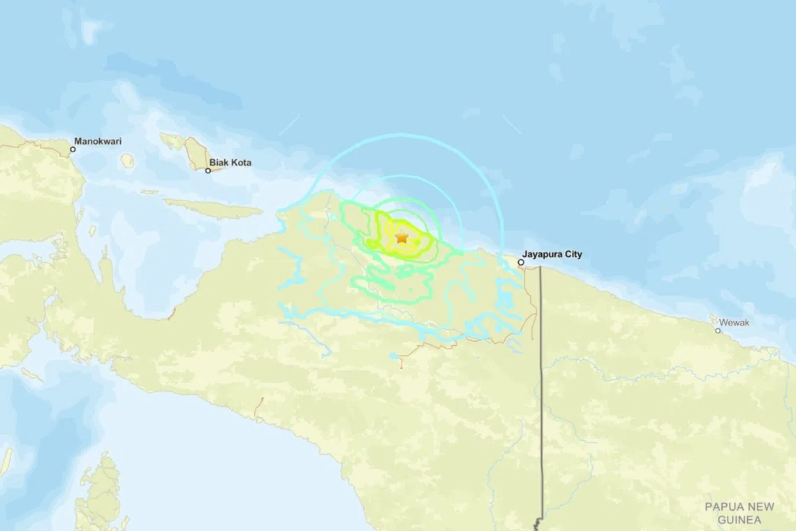
The epicentre of the quake was located about 200km from the city of Jayapura at a depth of 35km, according to USGS.
PHOTO: SCREENGRAB FROM US GEOLOGICAL SURVEY
JAKARTA – A magnitude 6.5 earthquake struck Indonesia’s eastern Papua province on Oct 16, damaging dozens of homes and buildings, but causing no reported casualties, officials said.
The tremor hit at 2.48pm local time (1.48pm in Singapore), with its epicentre located about 200km from the city of Jayapura at a depth of 35km, according to the United States Geological Survey.
The Pacific Tsunami Warning Centre in Hawaii said there was no threat of a tsunami from the quake.
Residents in Sarmi regency rushed outdoors as the quake shook the area for around three seconds, National Disaster Mitigation Agency spokesman Abdul Muhari said in a statement.
“As of 2.30pm Western Indonesia Time, material losses that were recorded include 20 houses heavily damaged, 30 houses lightly damaged, and three churches with collapsed walls,” he said.
No fatalities or injuries had been reported by the afternoon of Oct 16, he added.
A team from Jakarta was set to be dispatched to assist local authorities with rapid assessments and data collection, Mr Abdul said.
Indonesia’s Meteorology, Climatology and Geophysics Agency official Daryono, who goes by one name, said in a statement no aftershocks had yet been recorded.
Indonesia, a vast archipelagic nation, experiences frequent earthquakes due to its position on the Pacific “Ring of Fire”.
The arc of intense seismic activity, where tectonic plates collide, stretches from Japan through South-east Asia and across the Pacific basin.
Indonesia’s Papua is on the western half of the large Pacific island it shares with Papua New Guinea. AFP


