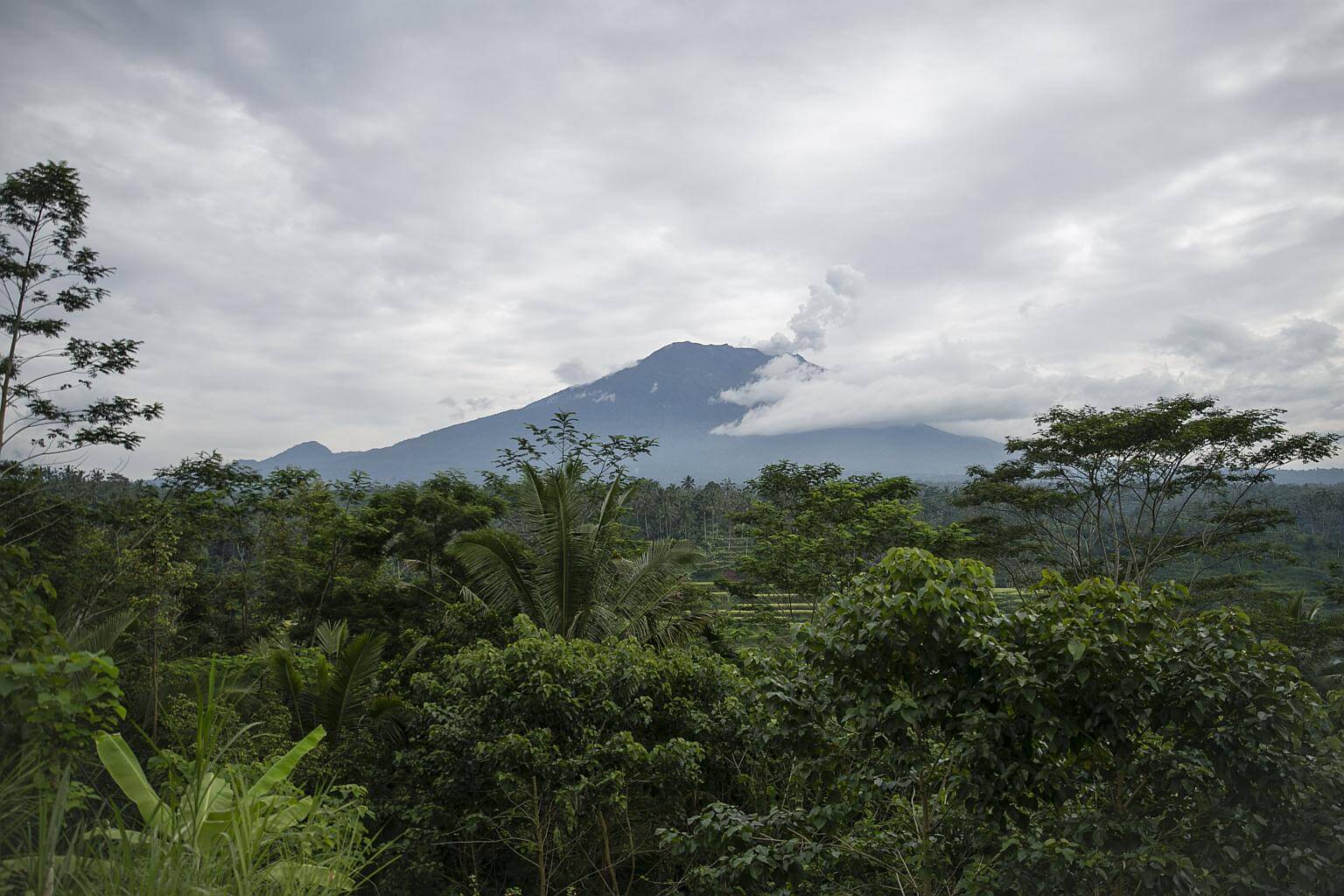
Drone flown over Mount Agung to detect volcanic activity
Sign up now: Get insights on Asia's fast-moving developments

Mount Agung erupted on Tuesday afternoon, spewing thick clouds of ash around 700m from the crater.
PHOTO: EPA-EFE
Follow topic:
JAKARTA (THE JAKARTA POST/ASIA NEWS NETWORK) - The Centre for Volcanology and Geological Hazards (PVMBG) flew a drone over Mount Agung's crater in Bali on Thursday (Nov 23) to analyse ash clouds and volcanic activity after the volcano erupted on Tuesday.
A large Ai 450 drone was flown and controlled from a field near the volcano in Karangasem Regency. PVMBG drone team member Umar Rusadi said the drone is larger than the Ai 300 used on previous missions.
The drone is equipped with a sensor capable of detecting chemical substances, such as sulfur dioxide and hydrogen sulfide, to allow the team to examine the activity.
"The drone will comb the southern area of Mount Agung. This flight focuses on detecting sulfur dioxide and hydrogen sulfide contents after it had a phreatic eruption on Tuesday," Umar w as quoted saying by tribunnews.com.
Mount Agung erupted on Tuesday afternoon, spewing thick clouds of ash around 700m from the crater. The eruption took place one month after the authorities lowered the alert level to the third-highest level. Currently, areas within 6km from the crater have been declared a danger zone.
As of Thursday, the volcano's alert status has not disrupted tourism on the resort island. The mountain is located around 70km from Kuta, one of the most popular destinations on the island.

