5.6-magnitude quake rattles southern Philippines
Sign up now: Get insights on Asia's fast-moving developments

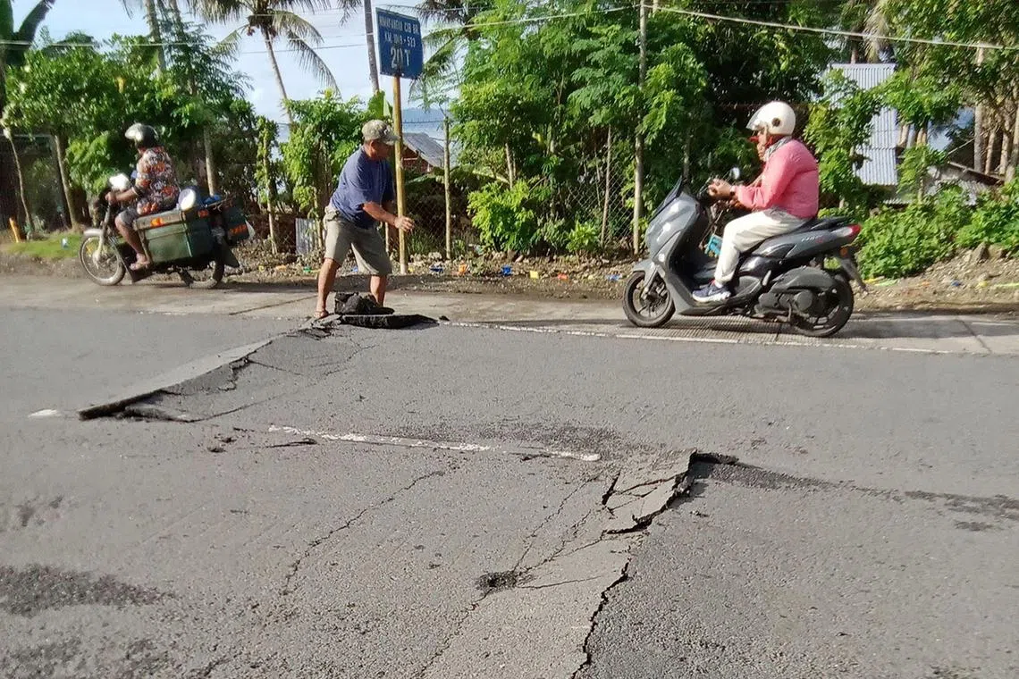
Quakes are a daily occurrence in the Philippines, which sits along the Pacific “Ring of Fire”.
PHOTO: AFP
Follow topic:
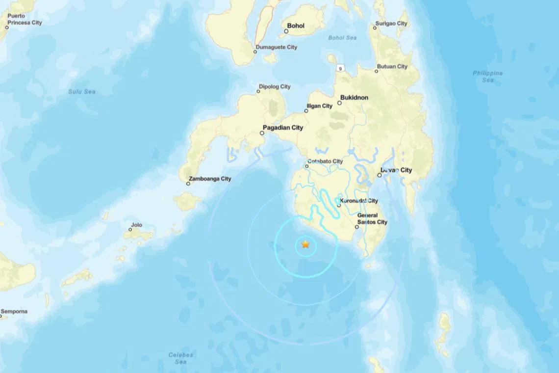
MANILA – A 5.6-magnitude earthquake struck off the southern Philippines on April 16, the United States Geological Survey (USGS) said, with no immediate reports of damage or casualties.
The quake off the coast of the island of Mindanao had a depth of 30km, the USGS added.
The Philippine Institute of Volcanology and Seismology placed the epicentre about 43km south-west of the town of Maitum, located in a mountainous and sparsely populated area.
Local authorities told AFP early indications were that the quake had caused no significant damage.
“It was strong but didn’t last long. We have checked, but it was negative (for damage or casualties),” said fire department official Gilbert Rolifor in Maitum.
Quakes are a daily occurrence in the Philippines, which sits along the Pacific “Ring of Fire”, an arc of intense seismic and volcanic activity that stretches from Japan through South-east Asia and across the Pacific basin.
Most are too weak to be felt by humans, but strong and destructive quakes come at random with no technology available to predict when and where they will happen. AFP

The quake off the coast of the island of Mindanao had a depth of 30km.
PHOTO: SCREENGRAB FROM USGS

