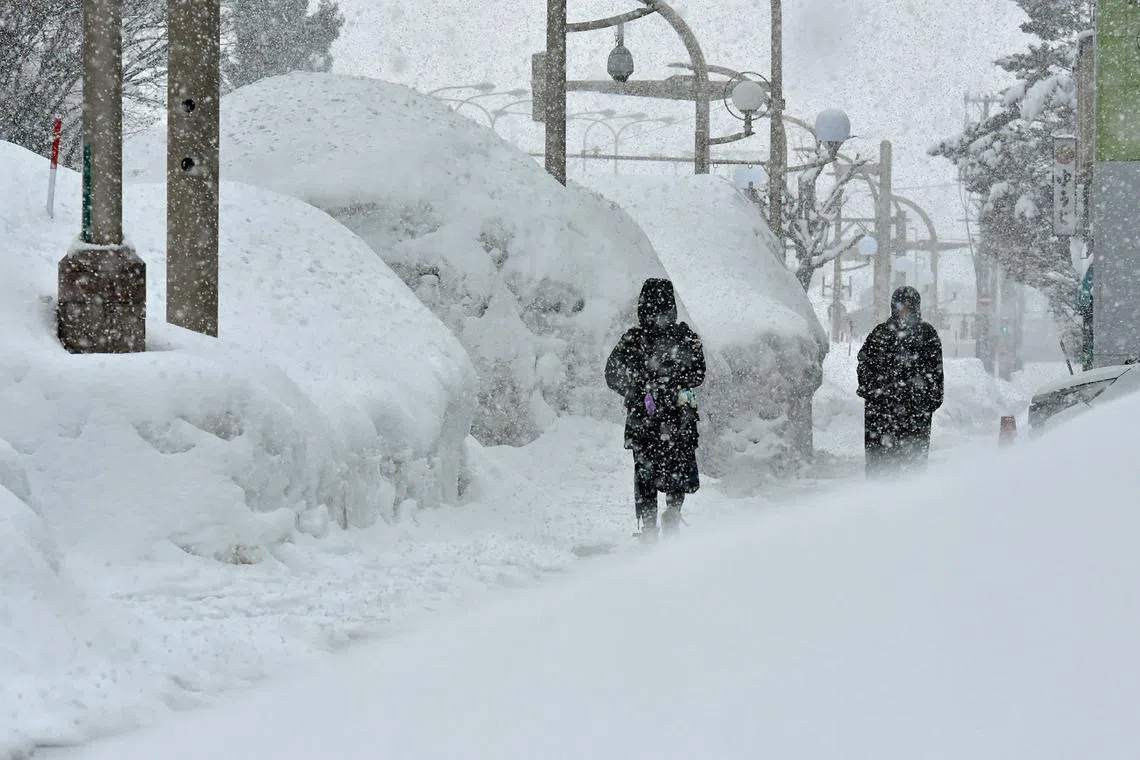
Coldest wave of winter predicted to bring heavy snowfall to parts of Japan
Sign up now: Get insights on Asia's fast-moving developments

The Japan Meteorological Agency is urging people to be careful of the impact to traffic caused by icy road surfaces, avalanches and snow accumulation.
PHOTO: AFP
Follow topic:
TOKYO – The strongest cold wave of this winter is expected to move into the skies over Japan, most likely bringing heavy snowfall mainly on the Sea of Japan (East Sea) side of the country from Feb 4.
The cold wave will continue for about a week, and there is a possibility of snowfall even in the low-lying areas on the Pacific Ocean side. The Japan Meteorological Agency is urging people to be careful of the impact to traffic caused by icy road surfaces, avalanches and snow accumulation.
According to the agency, the amount of snowfall in the 24 hours up to 6am on Feb 4 is expected to be 50cm in Hokkaido, 40cm in Hokuriku (including Niigata prefecture), 30cm in Tohoku, 25cm in Tokai and 20cm in Kinki, Chugoku and northern Kyushu, at the maximum.
Up to 6am on Feb 5, the amount of snowfall in the 24 hours is expected to be as follows: 70cm in Tohoku, Hokuriku (including Niigata prefecture) and Tokai; 50cm in Hokkaido, Kinki and Chugoku; 30cm in northern Kyushu and 20cm in Shikoku. THE JAPAN TIMES/ASIA NEWS NETWORK

