China to build satellites to monitor 'every reef and ship' in South China Sea: Reports
Sign up now: Get insights on Asia's fast-moving developments

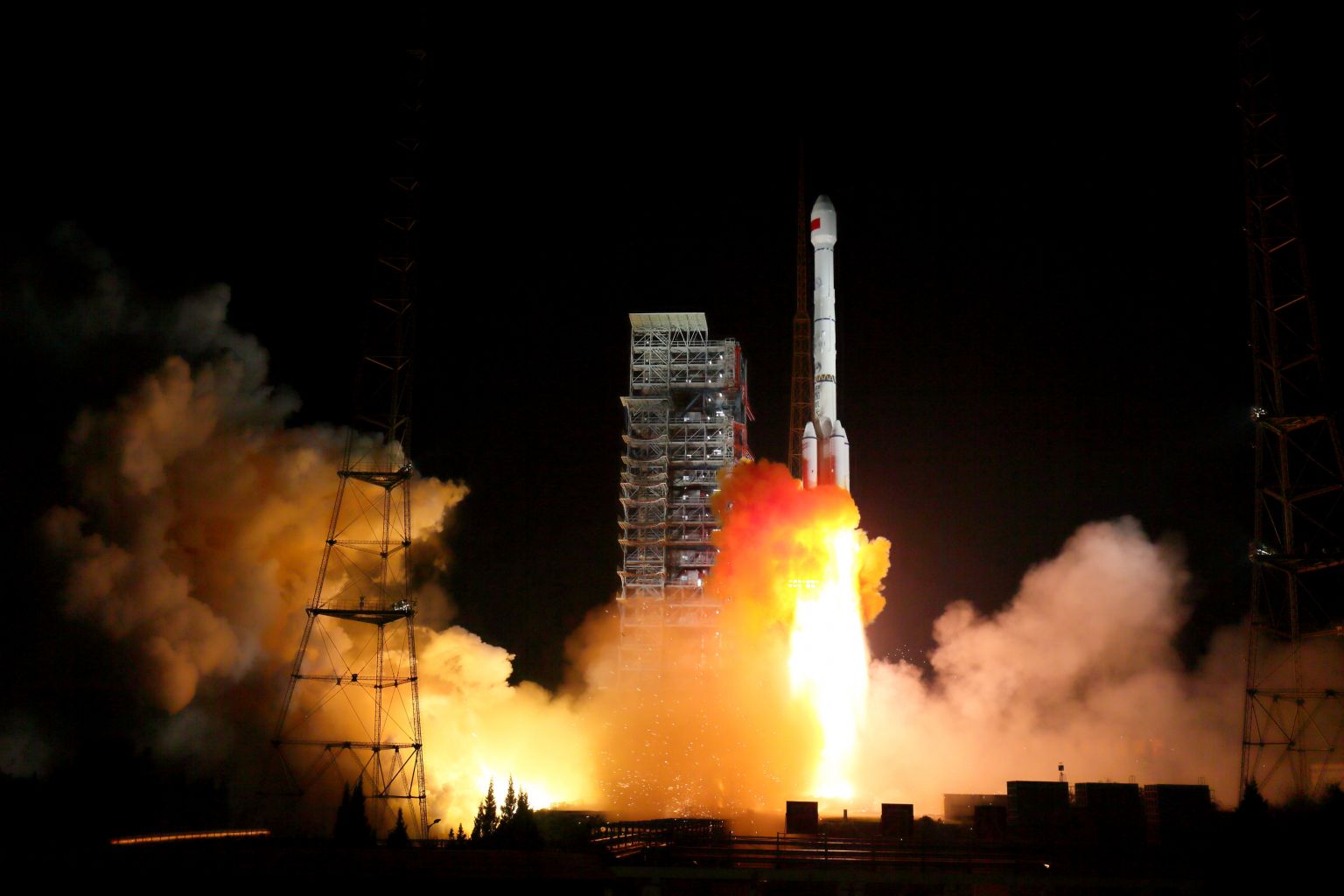
Two BeiDou-3 satellites via a single carrier rocket take off at the Xichang Satellite Launch Centre in Sichuan, China, on Nov 5, 2017.
PHOTO: REUTERS
Follow topic:
BEIJING/HONG KONG - China will build commercial satellites to monitor "every reef and ship" in the contested South China Sea to safeguard national sovereignty and bolster President Xi Jinping's Belt and Road initiative, reports said.
The monitoring network, to be completed by 2021, will cover as far as the Indian Ocean and part of the Strait of Malacca, experts were quoted as saying, and give China an advantage in negotiating the demarcation of the sea.
In all, six optical satellites, two hyperspectral satellites and two radar satellites will keep a real-time daily watch on the contested waters and monitor key areas several times a day as part of the Hainan satellite constellation system, South China Morning Post reported on Thursday (Aug 16).
Mr Yang Tianliang, director of the academy's Sanya Institute of Remote Sensing, was quoted as saying the network would enable the authorities based in Hainan to speed up their response to emergencies, more effectively administer the South China Sea, and improve exploration and development of the resource-rich waters.
"Each reef and island as well as each vessel in the South China Sea will be under the watch of the 'space eyes'," Mr Yang said. "The system will reinforce national sovereignty, protection of fisheries, and marine search and rescue."
The programme is being carried out by the Chinese Academy of Sciences and is expected to be completed by 2021.
In the programme's first phase, three of the optical satellites will be launched in the second half of next year. They will be equipped with optical remote sensors, a system to identify ships and cameras designed to monitor the ocean's surface.
The satellites will be able to observe the South China Sea "within days compared to the current two to three months," Mr Yang told the Global Times on Wednesday.
The two hyperspectral satellites to be launched in the second phase in 2020 will be able to assess water conditions, while the synthetic aperture radar satellites to be sent into orbit in the third phase will be able to provide all-weather, high-definition monitoring.
Mr Yang said that when the network is completed, it will cover the entire area between the 30th north and south parallels, and could offer "seamless monitoring and receiving system" of tropical regions.
The satellites will also be capable of monitoring the environment and disasters, and the information "can be readily provided to less developed countries along the Belt and Road initiative, if needed", he said.
Mr Chen Xiangmiao, a research fellow at the Hainan-based National Institute for the South China Sea, said the network can cover "important areas such as the Indian Ocean and part of the Strait of Malacca".
The satellites will be of great importance in terms of defending territorial sovereignty, marine exploration, domestic fisheries security and cooperation with surrounding countries on marine issues, he added, and also give China an advantage in negotiating the demarcation of the South China Sea.
The oil and resource-rich waters of the South China Sea are claimed by China, the Philippines, Brunei, Vietnam, Malaysia and Taiwan.
Tensions have risen in the area with China's construction of artificial islands equipped with military facilities, and the deployment of military vessels by other claimants and the United States.

