SINGAPORE - The wet weather that has recently blanketed the island is expected to continue in the next two weeks, with temperatures likely dipping to 23 deg C and showers expected around the Christmas period.
This comes after the temperature on Dec 2 plunged to as low as 21.4 deg C in the northern part of Singapore, beating the initial forecast of 22 to 30 deg C by the weatherman for the first two weeks of December.
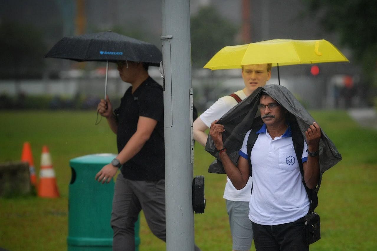
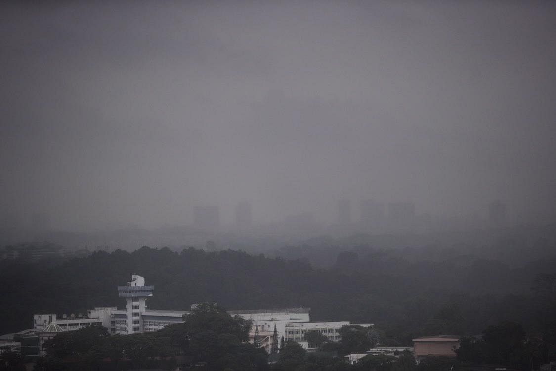
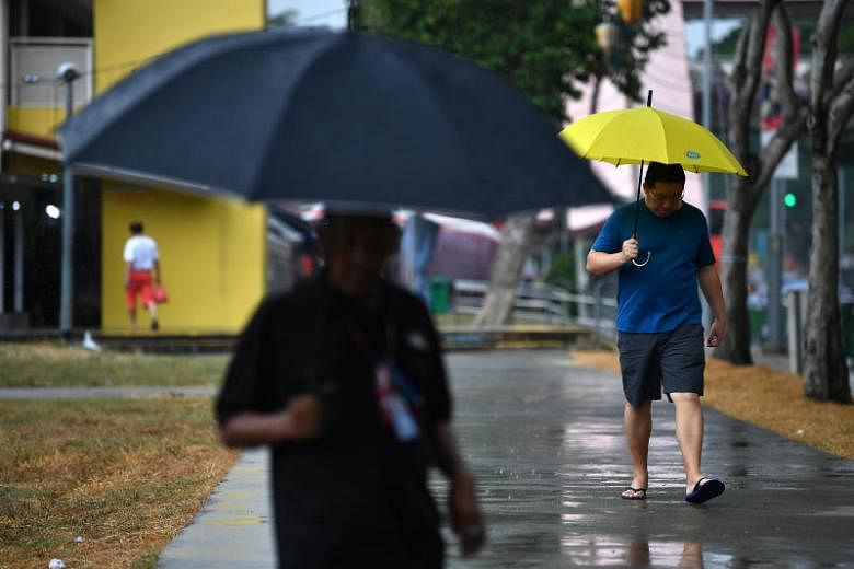
Over the last few days from Dec 13 to 15, the rain was widespread and fell continuously over the island before dissipating on Sunday evening.
The highest daily total rainfall recorded over the weekend was 80.9mm on Sunday in Loyang.
In the next two weeks, the daily temperature is forecast to range between 24 and 33 deg C on most days, and could drop to a low of around 23 deg C on a few days, the National Environment Agency's Meteorological Service Singapore (MSS) said on Monday (Dec 16).
Rain is also likely during the Christmas period, with the overall rainfall for December expected to be well above average.
For the rest of the month, expect moderate to heavy thundery showers in the afternoon on eight to 10 days, with these showers continuing into the evening on some days.
These are likely due to strong daytime heating of land areas and localised convergence of winds, which are conducive for the development of localised thunderstorm clouds, the MSS said.
The low-level winds are forecast to blow from the north-west or north-east.
ABOVE AVERAGE RAINFALL, COOLER TEMPERATURES
Singapore and the surrounding region are currently in the wet phase of the north-east monsoon season. This phase is expected to continue into January before transitioning to the dry phase of the season, from February to mid-March.

In the first half of December, Singapore recorded a rainfall that was above average across the island.
Pasir Ris recorded the highest rainfall anomaly of 151 per cent while Ulu Pandan recorded the lowest rainfall anomaly of 10 per cent above average.
Compared to the last two weeks of November, the rainy weather in the first half of December brought cooler temperatures across the island.
In the first week of December, the daily maximum temperature ranged between 27.3 deg C and 34.9 deg C.

It dipped to between 25.2 deg C and 32.3 deg C in the second week due to the rainy weather arising from the monsoon surge.
The lowest daily maximum temperature of 25.2 deg C was recorded on Dec 15 at Changi. Meanwhile, the lowest daily minimum temperature was 21.4 deg C on Dec 2 at Admiralty, arising from the intense thunderstorm that fell over the island that afternoon.
NORTH-EAST MONSOON
The north-east monsoon conditions continued over Singapore and the surrounding region in the first two weeks of December.
It was windy during this period, with low-level winds blowing from the north-east or east, arising from the monsoon surge that continued on most days over the equatorial South-east Asia region including Singapore.
On the first few days of the month, strong solar heating of land areas and the convergence of winds in the surrounding region brought moderate to heavy thundery showers in the afternoon.
The intense thundery showers on Dec 2 brought a total rainfall of 102.8mm at Bukit Panjang that day. This was the highest daily total rainfall recorded for the first two weeks of December.


