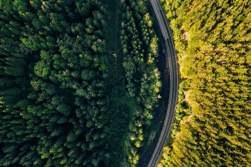

SINGAPORE - A new digital platform aims to map the world's forests down to each tree, helping track deforestation, fires and other threats and boosting the accuracy of calculating the carbon stored in these treasure troves of nature.
The non-profit CTrees project, backed by philanthropic groups, says its main goal is to provide a global map for buyers, investors and policymakers to boost the accuracy of carbon accounting by providing near real-time data from space.
Already a subscriber? Log in
Read the full story and more at $9.90/month
Get exclusive reports and insights with more than 500 subscriber-only articles every month
ST One Digital
$9.90/month
No contract
ST app access on 1 mobile device
Unlock these benefits
All subscriber-only content on ST app and straitstimes.com
Easy access any time via ST app on 1 mobile device
E-paper with 2-week archive so you won't miss out on content that matters to you