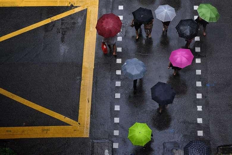
SINGAPORE - Remember to take your umbrellas and raincoats when heading out this month. More thundery showers are expected in the first two weeks of October, the Meteorological Service Singapore (MSS) said on Monday (Oct 2).
This is due to the inter-monsoon conditions as prevailing south-west monsoon conditions, with low level winds blowing from the south-east or south-west, continue for the fortnight. After this fortnight, winds are expected to become light and variable in direction.
Thundery showers are expected on six to eight days of the fortnight, mostly in the late morning and afternoon. Rains may extend into the evening on a few days.
The rainfall for this period is also expected to be above the usual.
While the daily temperature on most days would range between 24 deg C and 33 deg C, there could be a few days where the daily maximum could hit a high of 34 deg C and the minimum could fall to 22 deg C.
South-west monsoon conditions had prevailed last month. The hot weather contributed to strong solar heating of land areas which, coupled with convergence of winds, brought above average rainfall to many parts of Singapore.
The highest rainfall of 320.2mm - which is 68 per cent above average - was recorded around the Jurong area. The heaviest daily rainfall of 94mm was recorded on Sept 10 around the Sungei Kadut area.
Rainfall was lowest in the east, where 124.4mm - which is 22 per cent below average - was recorded around the Changi area.
Daily maximum temperature reached a high of 34.9 deg C while the lowest daily minimum temperature recorded dipped to 21.9 deg C.
Updates of daily weather forecasts can be found at www.weather.gov.sg, the NEA website www.nea.gov.sg, on the myENV app, or on the MSS' Weather@SG app.