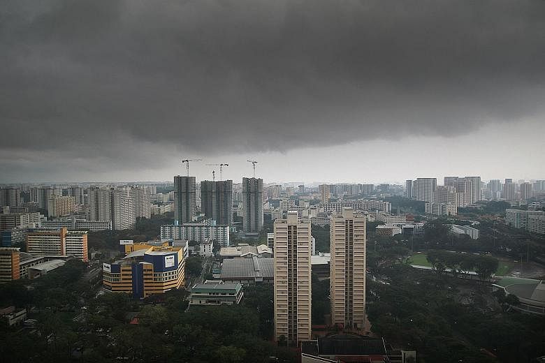
The thundery showers experienced over the past few days are expected to continue today in the late morning and early afternoon.
Wet conditions will persist until the end of the month, with more thundery showers in the hours before dawn and in the morning, according to the Meteorological Service Singapore (MSS).
The maximum daily temperature for the coming days is expected to be 33 deg C.
Singapore is experiencing the tail-end of the south- west monsoon, which occurs between June and September, and sometimes moves into October. During this period, short-duration showers and thunderstorms are common.
The region enters the inter-monsoon period in the coming days that is characterised by light and variable winds.
This usually lasts until the end of November, and thunderstorms, at times severe, can be expected in the afternoon and early evening.
"Warmer conditions are common during the inter- monsoon season when there is strong solar heating and the winds are generally light," the MSS said.
Most of Singapore's rainfall during the first two weeks of this month was due to Sumatra squalls - lines of thunderstorms - that developed overnight over the western coast of Sumatra or the Strait of Malacca.
Overall, the first fortnight of this month saw below- average rainfall in the north-western half of Singapore, and above-average rainfall in the south-eastern half of the island.
The highest rainfall of 139.2mm was recorded around the Tanjong Katong area, which was 53 per cent above average. Rainfall was lowest around the Choa Chu Kang area, where 65.8mm was recorded - 39 per cent below average.
Total rainfall for this month is expected to be slightly below normal.