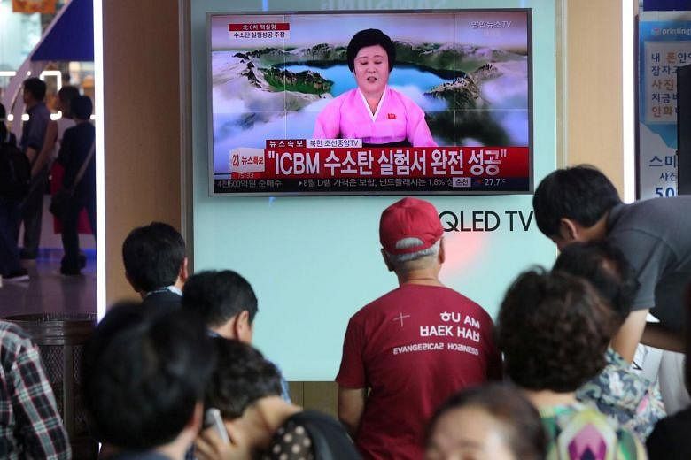
SEOUL • Analysts peering at satellite images of North Korea after the latest nuclear test said on Tuesday that they had spotted many landslides and widespread disturbances at the country's test site in its mountainous wilds.
"These disturbances are more numerous and widespread than what we have seen from any of the five tests North Korea previously conducted," three experts wrote in an analysis for 38 North, a respected website linked to Johns Hopkins University in the United States.
Early readings from global networks that monitor shock waves suggest that Sunday's nuclear blast had a destructive power equal to 120,000 tonnes of high explosives. If so, that is roughly six times more powerful than North Korea's test in September last year, and eight times larger than the bomb dropped on Hiroshima in 1945.
The new satellite images of the test site were taken a day after the detonation. Planet, a company in San Francisco that owns swarms of tiny satellites, reconnoitred the secretive nuclear test site.
The images showed changes in the surface at the north-eastern Punggye-ri test site, where underground tunnels have been dug under Mount Mantap for the nuclear tests. The ground there was lifted into the air by tremors, with small landslides going into stream beds.
Analysts Frank Pabian, Joseph Bermudez Jr and Jack Liu said they could find no evidence of a surface crater that would have formed if the cavern carved out within the mountain by the blast's violence and high temperatures had suddenly collapsed.
Sunday's blast caused a 6.3-magnitude earthquake, said the US Geological Survey, and was followed a few minutes later by another with a magnitude of 4.1, leading to suggestions that the rock over the site had caved in, potentially releasing radioactive material. Seoul's nuclear safety agency said on Wednesday it had not detected traces of radioactive materials in soil, water and air samples after the blast.
NY TIMES, AGENCE FRANCE-PRESSE