
SINGAPORE - Thundery showers will again blanket many areas in the late morning on Sunday, according to NEA.
The agency also notes on its website that lightning can strike more than 10km away from a thunderstorm cloud.
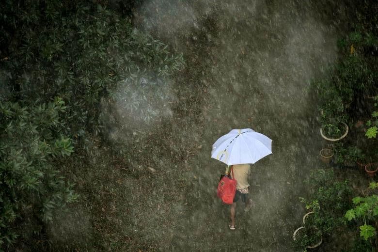
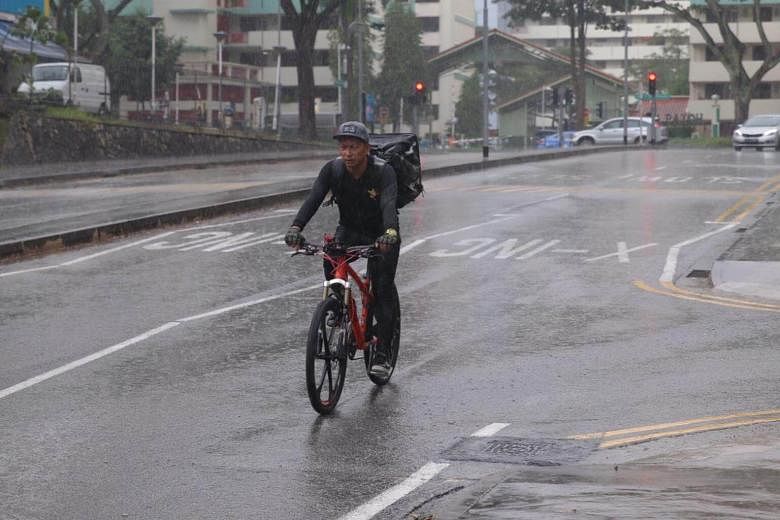
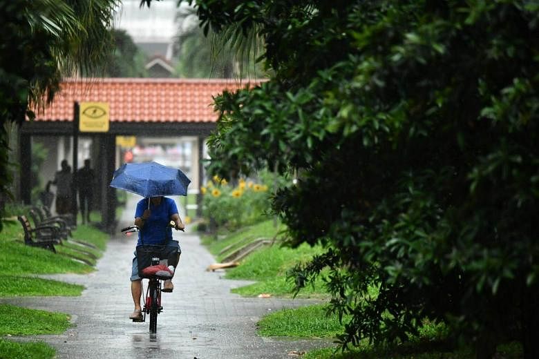
The forecast comes on the heels of a wet Saturday (Oct 7) afternoon. What had begun as a cheerful sunny morning was overshadowed after lunch by ominous thunderheads that roared over the island accompanied by flashes of lightning.
This prompted the National Environment Agency (NEA) to tweet multiple warnings of heavy rain with gusty winds over many parts of Singapore, starting (tweets) around 3pm.
An animation on NEA's website showed the locations of multicoloured "clouds" - ranging from cyan for light rain through green, yellow, orange, red and pink for very heavy rain - as recorded every five minutes as they moved across the map, leaving hardly any part of the island untouched.
First to come within a hair's breadth of flooding was Paya Lebar Road, with water levels reported at more than 90 per cent at 3.28pm by an automated tweet from national water agency PUB that additionally warned of "high flood risk".
Next to get the deluge was Leng Kee Road, where the electronic water-level sensors in the canal registered more than 90 per cent full at 4.22pm.
However, neither reached 100 per cent and both were below 90 per cent by 4.28pm, although the "high flood risk" warnings remained.