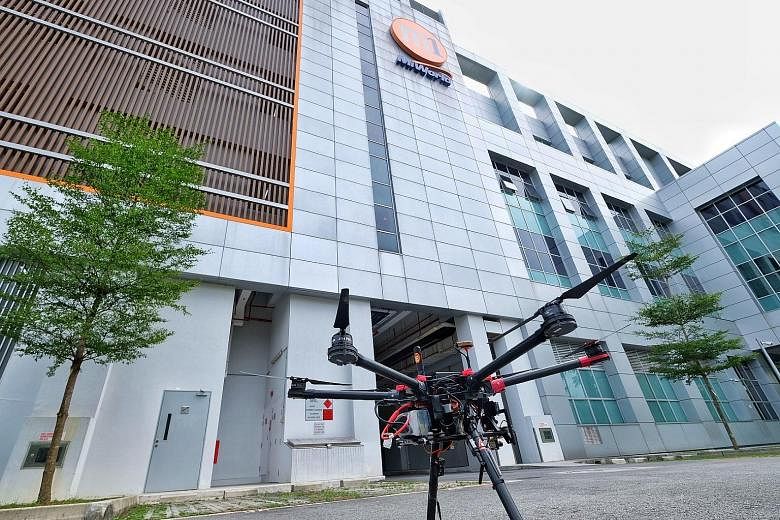

A new and safer way to fly drones using a more reliable network is on the horizon, under a research project by Nanyang Technological University (NTU) and telco M1.
In a first, a joint research team from NTU and M1 will use the telco's 4.5G heterogeneous network (HetNet) to fly drones, instead of the usual wireless networks. The two parties signed a research agreement yesterday, which is expected to last three years, to use such networks to develop a traffic management system for drones. This will enable multiple drones to fly at the same time along pre-determined routes.
This 4.5G network - a speedier version of the 4G data network that consumers use on mobile phones - will let drones communicate with their controllers, and also one another, over long distances and with a more reliable data connection.
Professor Vu N. Duong, director of NTU's Air Traffic Management Research Institute (ATMRI) which is leading the research, said this is growing in importance as commercial usage of drones is increasing.
Using a 4.5G HetNet will allow drone operators to safely pilot their drones even beyond line of sight, as the drones will still be able to remain connected to the controllers over long distances. This network will also let drones send back high-quality videos in real time, as well as sensor data on network strength and the drones' precise location at all times.
Using a 4.5G network will also make drone-flying safer. Conventional drones connect through a wireless 2.4GHz network, which can be disrupted by radio interference. In contrast, 4.5G networks fall under a licensed spectrum band, making them safer and less prone to disruptions.
M1 chief technical officer Denis Seek said such mobile technology would expand the reach of drones to perform new applications. These include search and rescue operations at remote or inaccessible sites, aerial infrastructure surveillance, parcel deliveries, and "even new entertainment channels such as first-person-view drone race".
The research will also further ATMRI's main research goal of designing a traffic system with rules and aerial "roads" where many drones can fly safely together in the future, which the institute embarked upon last December.
Professor Low Kin Huat from NTU's School of Mechanical and Aerospace Engineering, who is leading this joint research project, said: "Over the next year, the research team will do more trials in different areas to see how different terrain affects network performance.
"The next thing we will do, based on the network maps in different areas and conditions, is to transfer the information to our simulation systems to model an air traffic map for drones."
The project will map out Singapore's airspace for drone-flying by gathering data on latency and signal strength of M1's HetNet up to a height of 400 feet or 121.9m, or about 36 storeys high.