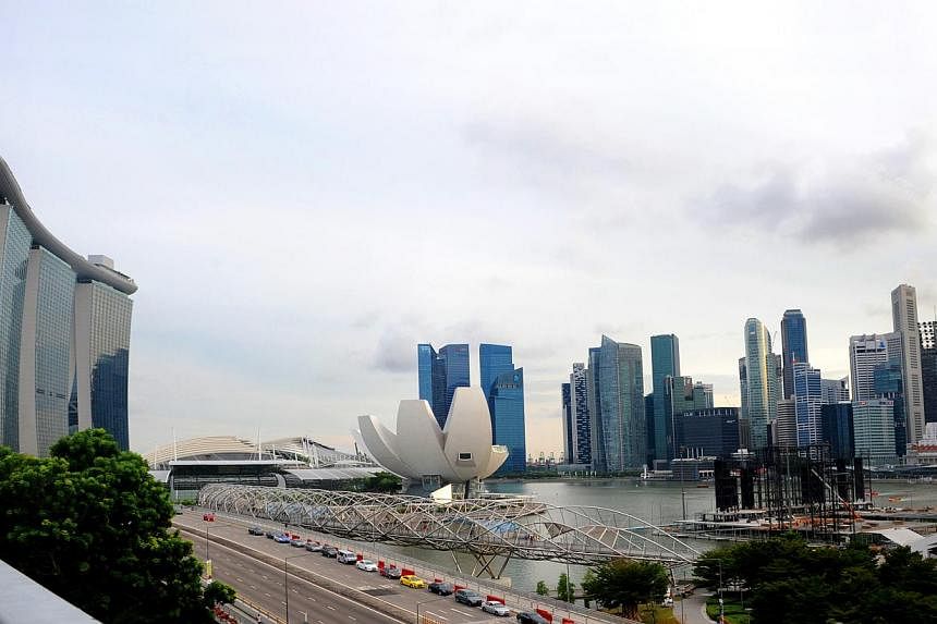
SINGAPORE - An interactive 3-D map of Singapore which shows the nation's aboveground structures such as trees, buildings and carpark lots will be available by 2017.
Called Virtual Singapore, the $73 million project - initiated by the National Research Foundation - will be more than just a map. There are plans to develop solutions and simulations running on top of the map to help solve urban problems such as crowd control, noise levels and visualising mobile phone coverage areas.
Communities will be able to help create innovations to improve their neighbourhoods using Virtual Singapore.
Singapore Land Authority (SLA) is in charge of the modeling of Virtual Singapore with Infocomm Development Authority providing technical expertise.
Work begun last year with the SLA collecting landscape information using laser-scanning technology from low flying planes.


