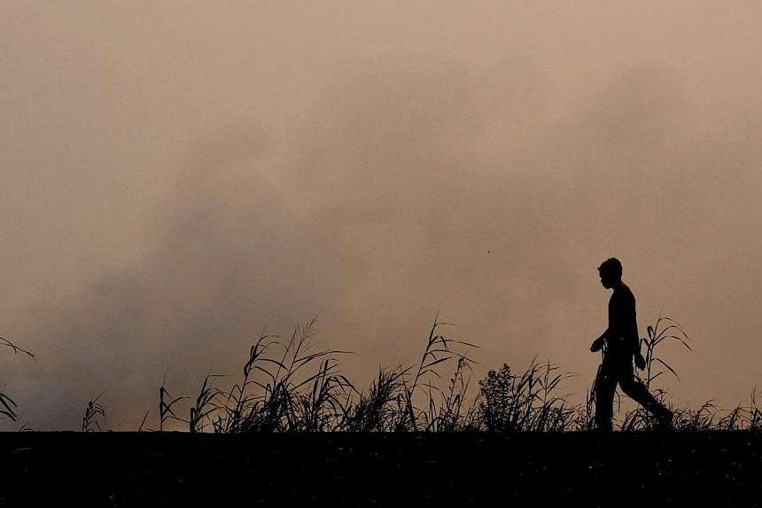
Haze from forest and plantation fire in Central Kalimantan and South Sumatra have intensified, as more than 1,500 hotspots were detected in the two Indonesian provinces.
The Terra Satellite recorded 1,225 hotspots in Central Kalimantan, 344 in South Sumatra, 203 in West Kalimantan, 32 in East Kalimantan and 20 in Lampung on Sunday morning, said Mr Sutopo Purwo Nugroho, spokesman of Indonesia disaster mitigation agency (BNPB) in a text message to reporters.
In Palembang, South Sumatra visibility fell to 400m at 6am on Sunday.
Haze from South Sumatra was blown to Jambi and Riau, Indonesia's second closest province to Singapore, Mr Sutopo said.
Clearing land by slashing and burning was behind the fires that burned uncontrolled.
Efforts by BNPB to contain the fires have continued, with helicopters, aircraft being deployed in firefighting and cloud seeding operations.
There have been 10,032 water bombing trips involving 24.4 million litres of water to contain fire these past months. Cloud seeding operations have involved 67 tonnes of chemicals to induce rain.