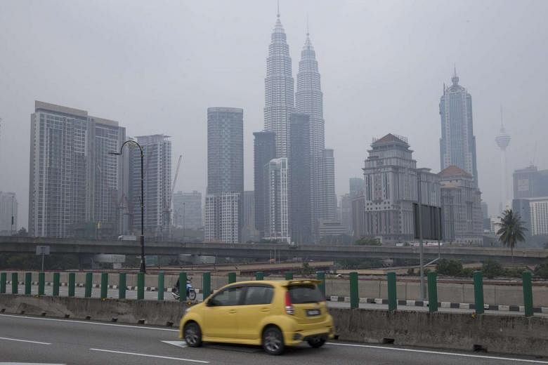
PETALING JAYA (THE STAR/ASIA NEWS WORK) - The haze is expected to stay until mid-September in Malaysia, with the west coast suffering the most from Indonesia's open burning.
Meteorological Department spokesman Hisham Mohd Anip said the situation would likely continue until the south-west monsoon season ends.
Coastal states from Kedah down to Johor could be the hardest hit, he said.
He said Sarawak might see its haze situation improve over the next few days as the winds were set to change direction.
At the moment, winds from Indonesia are carrying the smoke from Kalimantan and Sumatra to Malaysia and Singapore.
Open burning at plantations and forest areas is common in Indonesia as it is the fastest and easiest method of clearing land.
Dr Hisham said there could be more rain here next month when the winds change during the inter-monsoon period, which would help clear the haze.
But he warned that the weather in Indonesia could also get drier, resulting in increased hot spots and more smoke being blown here unless the fires are put out before then.
The global El Nino weather phenomenon is also expected to increase the chances of hot and dry weather in Indonesia, he added.
According to the Air Pollutant Index (API), Seri Manjung in Perak had the unhealthiest air in the country on Wednesday (Aug 26). The API level there spiked to 103 at 11am before declining to 100 at 3pm. The index went down to the 70s-range on Thursday (Aug 27) morning.
In George Town, Penang, the air quality climbed towards unhealthy levels on Wednesday but improved on Thursday morning.
An API reading of between 0 and 50 is good, 51 to 100 is moderate, 101 to 200 is unhealthy, 201 to 300 is very unhealthy, while 301 and above is hazardous.