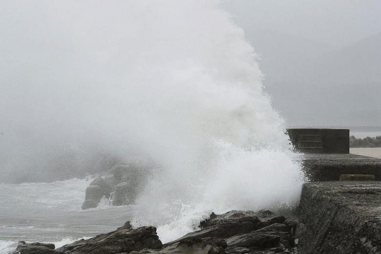
TOKYO (REUTERS) - A weakening Typhoon Noru churned closer to central Japan on Monday (Aug 7), pounding parts of the country with torrential rain, but it had lost much of the strength that at one point made it the world's strongest storm this year.
Evacuation advisories were issued for tens of thousands of people on Shikoku, Japan's smallest main island, and roughly 230 flights were cancelled, but there were no further deaths besides two reported on Sunday and no reports of people missing.
Noru was along the southern edge of the Japanese archipelago on Monday, with its centre just off Shikoku's Cape Muroto. Should it proceed on its current path, it could make landfall in the central prefecture of Wakayama later on Monday, the Japanese Meteorological Agency said, and brush Tokyo on Tuesday.
Parts of Shikoku were hit with 52 mm of rain in one hour on Monday morning, with some parts of central Japan likely to see 500 mm of rain in the 24 hours to Tuesday morning, the meteorological agency added.
Noru, which is a Korean word for a type of deer, formed more than two weeks ago and wandered around the north Pacific until it began heading for Japan. At one point it was a Category 5 storm, but has been downgraded to a Category 1.
Noru is likely to weaken to tropical storm strength later on Monday, according to Tropical Storm Risk.com.

